Volcano Watch: A new eruption and a new era at Kilauea Volcano
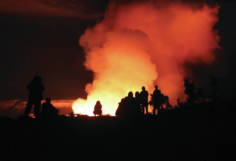
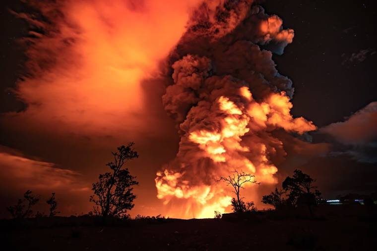
‘Twas the Sunday before Christmas, the eve of the winter solstice, and festive holiday lights blinked of bright red and green. And then, shortly after 9:30 p.m. on Dec. 20, so did the Hawaiian Volcano Observatory’s (HVO’s) volcano alert level/aviation color codes for Kilauea!
Lava lake ‘rapidly enlarging’; Kona could see relief from vog Monday
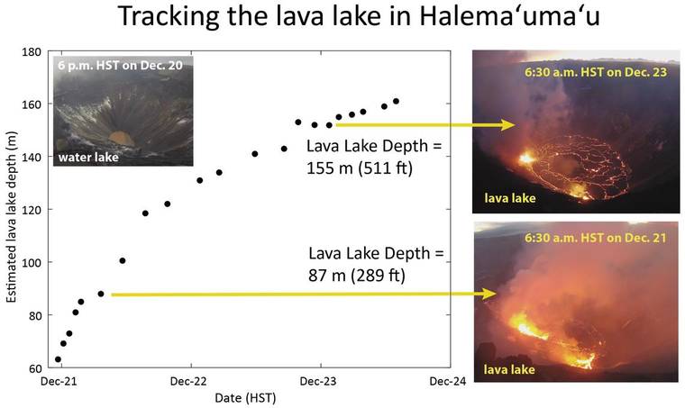
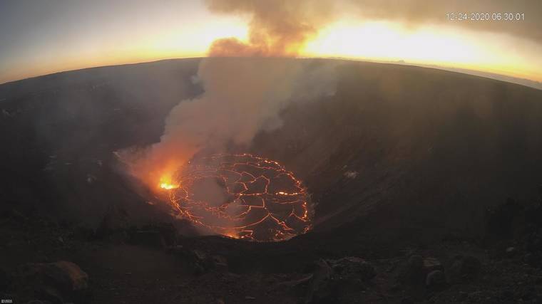
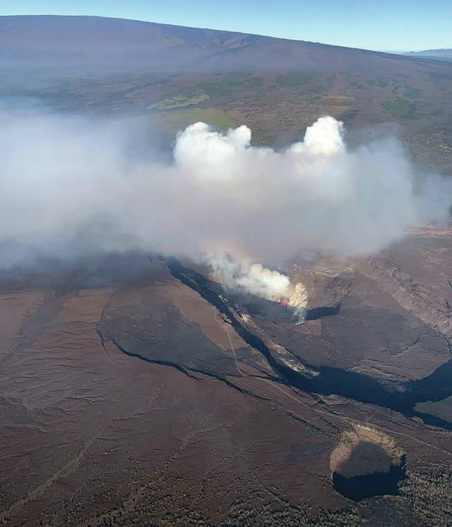
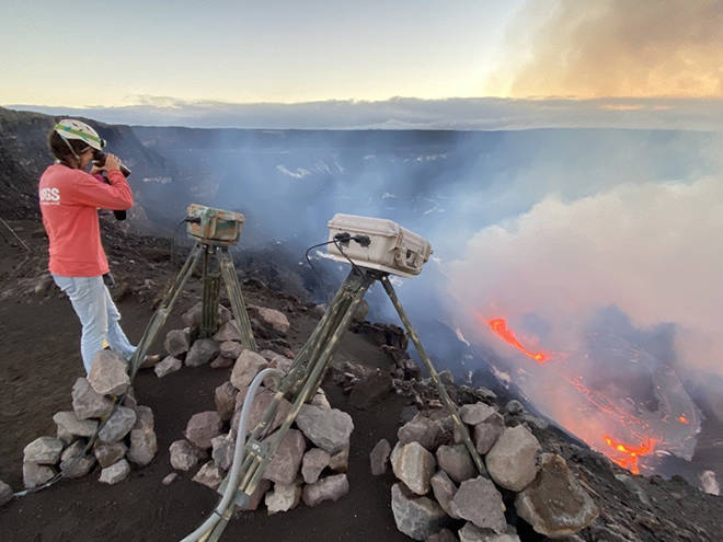
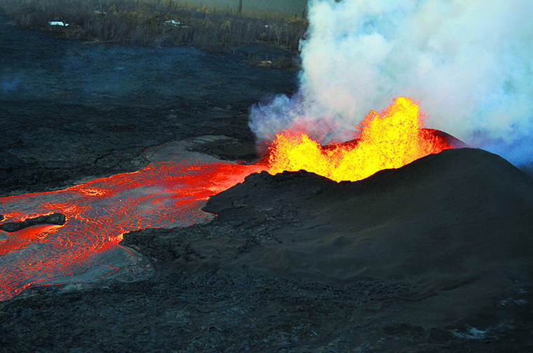
Two vents continued to feed lava into a rapidly enlarging lava lake filling Halema‘uma‘u crater, the Hawaiian Volcano Observatory said.
HVO: Kilauea lava lake continues to grow
The Hawaiian Volcano Observatory reported reported “no signifant change” to the ongoing eruption within Kilauea’s Halemaʻumaʻu crater.
No reprieve from vog in the forecast
A thick layer of vog continues to blanket West Hawaii areas for a third day following the start of an eruption Sunday night at Kilauea Volcano.
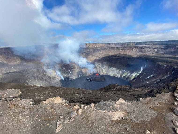
Latest Kilauea eruption confined to Halema‘uma‘u crater
Helicopter tour company sees increase in bookings after months of no action due to virus
After months of nearly nonexistent business because of COVID-19, one tour company has seen an uptick in bookings since Sunday’s eruption commenced at Kilauea Volcano‘s summit.
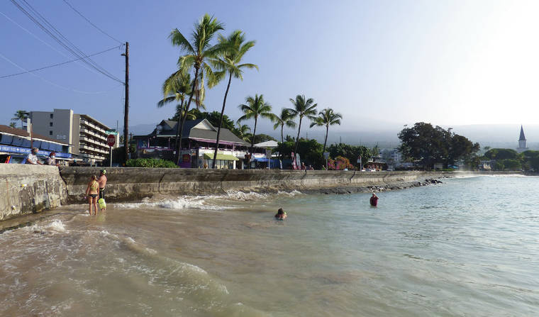
Vog returns to West Hawaii: Officials warn of potential air quality hazards
West Hawaii residents awoke Tuesday to a blanket of vog for the first time in more than two years.
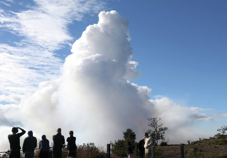
First Kilauea eruption since 2018 draws hundreds of onlookers to HVNP
After feeling the biggest earthquake of his life, Kyle Nolan knew something dramatic was happening.
Kilauea lava lake rising several yards per hour since eruption
Update: The Hawaiian Volcano Observatory reports the lava lake within Halemaumau crater continues to rise.
New eruption at Kilauea Volcano
Volcano Watch: A small but notable magma intrusion at Kilauea’s summit
The 2018 Lower East Rift Zone eruption and summit caldera collapse marked the end of the 35-year-long Puu Oo and 10-year-long summit lava lake eruptions, and the beginning of a new chapter in Kilauea Volcano activity. The volcano is continuing to behave in ways that are a response to the major events of 2018 and “the new normal” is yet to be defined.
Volcano Watch: Recent activity reminds us to maintain our volcano awareness
Though there hasn’t been an eruption in Hawaii in 2020, the year has hardly been quiet—earthquake swarms, an elevated alert-level on Mauna Loa, and a growing water lake on Kilauea are reminders that island residents should be aware of Hawaii’s active volcanoes.
Volcano Watch: When rocks fly
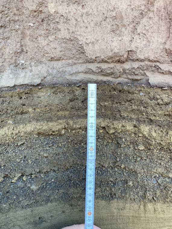
Tephra is the Greek word for ash, and it is the label we use for rocks that come flying out of the volcano during an eruption. Every feature of every single tephra grain has something significant to say about the volcanic process that created the grain and the transport journey it took afterward.
Cascading events led to 2018 Kilauea volcanic eruption, providing forecast clues
Kilauea Volcano’s 2018 eruption was triggered by a relatively small and rapid change at the volcano after a decade-long build-up of pressure in the upper parts of the volcano, according to a recent study published in Nature Communications by earth scientists from the University of Hawaii at Manoa and U.S. Geological Survey.
Volcano Watch: Remembering the Thanksgiving Eve Breakout from 2007
While this scenario describes the highly destructive 2018 eruption on the lower East Rift Zone (LERZ) of Kilauea, it also pertains to an earlier event on the East Rift Zone: the Thanksgiving Eve Breakout (TEB) lava flow in 2007.
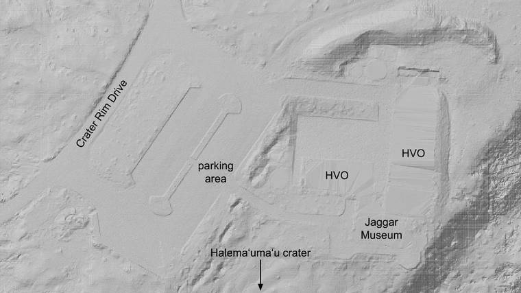
Volcano Watch: How has topography been modeled at Hawaii’s volcanoes?
Modeling topography on active volcanoes is unlike doing so in any other setting, because dramatic changes can occur on timescales far shorter than a human lifetime. For example, in 2018 at Kilauea, approximately 1 cubic kilometer of rock volume (0.25 cubic miles) was lost at the volcano’s summit and deposited on the lower East Rift Zone. So, topographic models can become outdated relatively quickly, and we need to update them accordingly.
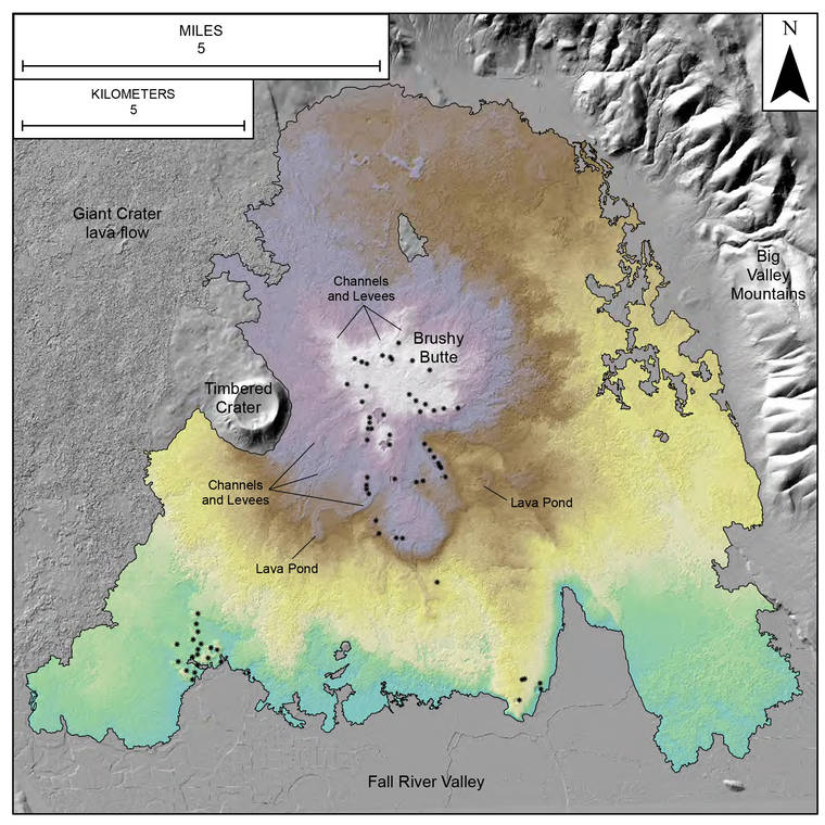
Volcano Watch: Using Hawaiian eruptions to understand volcanism in northern California
The U.S. Geological Survey has five volcano observatories tasked with monitoring low to high threat volcanoes throughout the United States.
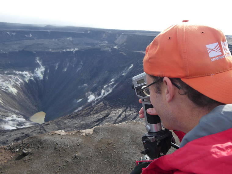
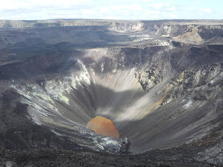
Volcano Watch: Innovative monitoring of Kilauea’s summit water lake
Famous for glowing red lava and billowing volcanic plumes, Halemaumau has long inspired poets, painters and photographers to find meaning in the color and light of this dynamic landscape.
Seismic Swarms and Sulfur Smells: What is Happening at Kilauea Volcano?
On the evening of Thursday, Oct. 22, people living near the summit of Kilauea Volcano began to feel a series of earthquakes. They were small, and some could even be mistaken for a strong gust of wind blowing against the house.
No significant changes at Kilauea’s summit water lake
There have been no significant changes observed recently at Kilauea’s summit water lake, the Hawaiian Volcano Observatory said this week.

