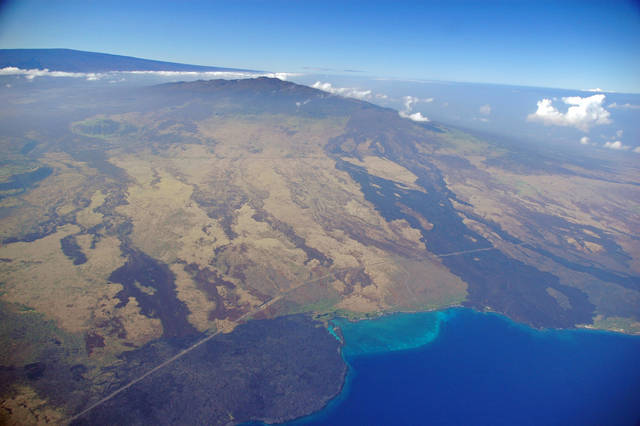
Why are HVO scientists talking so much about Mauna Loa?
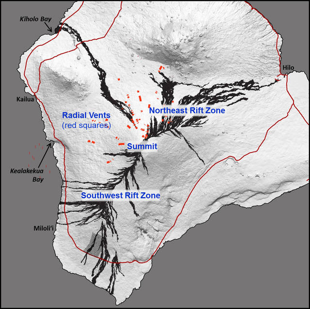
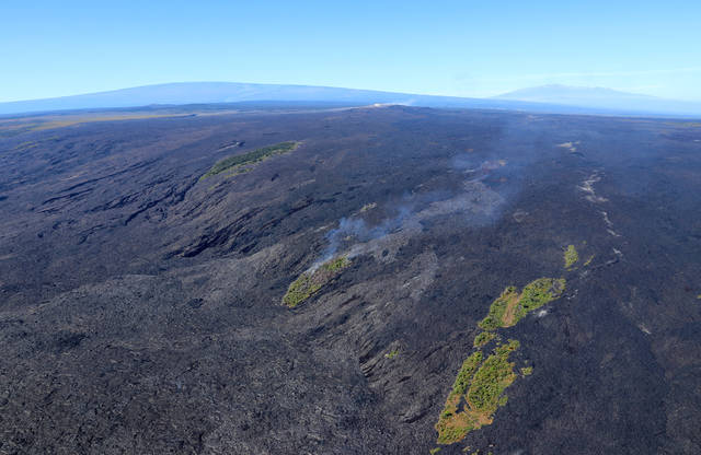
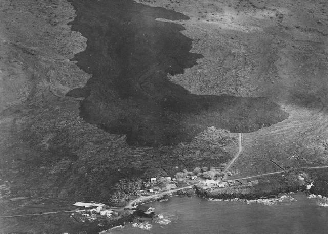
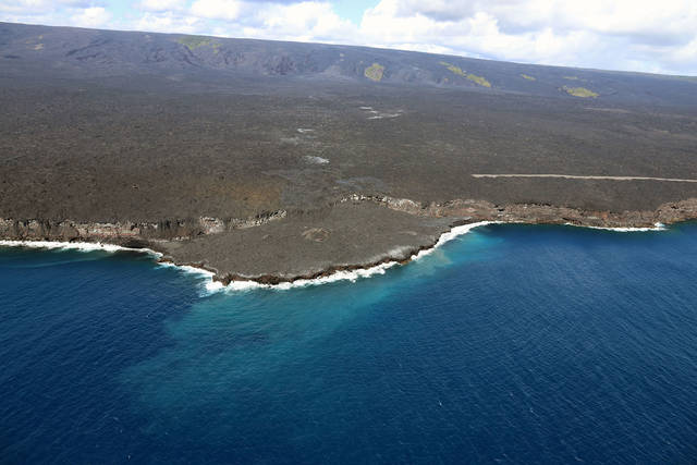
HAWAII NATIONAL PARK — In recent weeks, the USGS Hawaiian Volcano Observatory joined forces with several other agencies to talk about Mauna Loa at community events and other public meetings.
Sounds we can’t hear teach us about lava lakes
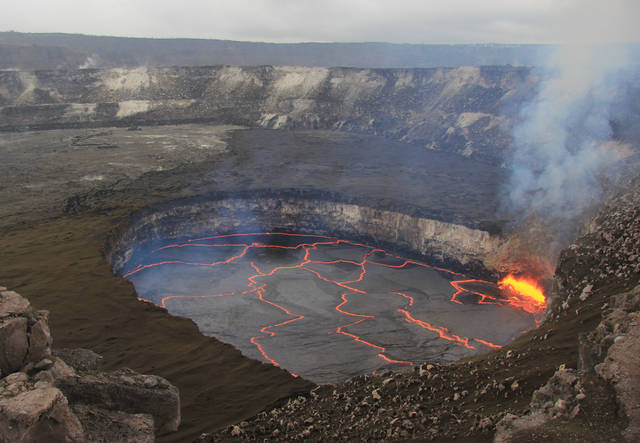
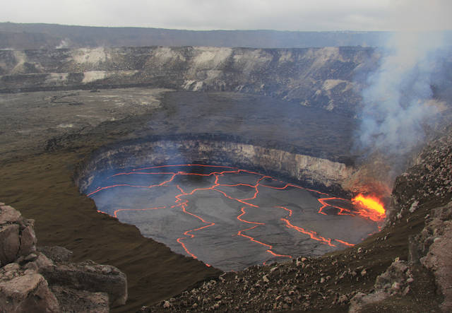
If you visit Hawaii Volcanoes National Park’s Jaggar Museum Overlook when the wind is calm, you might be able to hear the sounds of gas bubbles bursting and lava splashing in the Halemaumau lava lake at the summit of Kilauea. What you hear is only part of a rich chorus of sounds emitted from many processes near the surface of an active lava lake.
Why do some earthquakes have negative depths?
Astute visitors to the U.S. Geological Survey Hawaiian Volcano Observatory (HVO) website may have noticed that some recent earthquakes have negative depths. This does not indicate a change in seismicity but, rather, an upgrade in HVO’s seismic data processing system.
Keeping informed about Hawaiian volcanoes is the first step to preparedness
January is Volcano Awareness Month on Hawaii
With the hustle and bustle of the holidays upon us, Hawaii Island residents are likely giving little thought to the volcanic terrain beneath their feet. And that’s all right — for now.
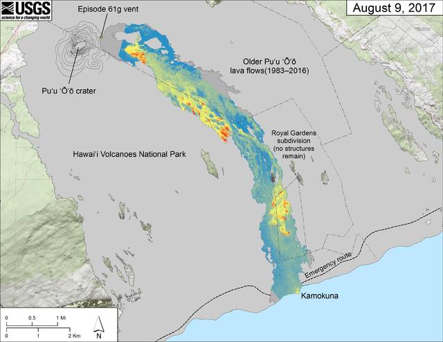
Lava no longer flowing into ocean at Kamokuna
Lava continues to flow from Pu‘u ‘O‘o but not where some would prefer.
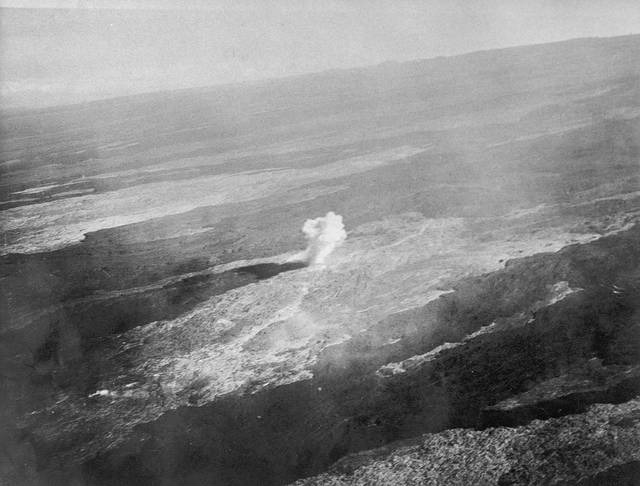
Did aerial bombing stop the 1935 Mauna Loa lava flow?
A widely held belief is that Thomas Jaggar, founder of the Hawaiian Volcano Observatory, was able to stop a Mauna Loa lava flow in 1935. But is it true?
What do we call new land at Kilauea Volcano’s ocean entries?
If you follow Kilauea Volcano’s ongoing East Rift Zone eruption, you are likely aware that when lava enters the ocean, it often forms new land. But what is this new land called?
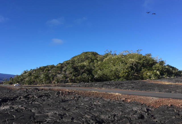
Drive along Saddle Road reveals outstanding volcanic geology
Route 200, the Daniel K. Inouye Highway, crosses Humuula Saddle, which separates Mauna Kea and Mauna Loa, the two largest volcanoes on Hawaii Island. This Saddle showcases outstanding volcanic geology and is easy to reach for “roadside geologists.”
Magma: What’s hot and what’s not
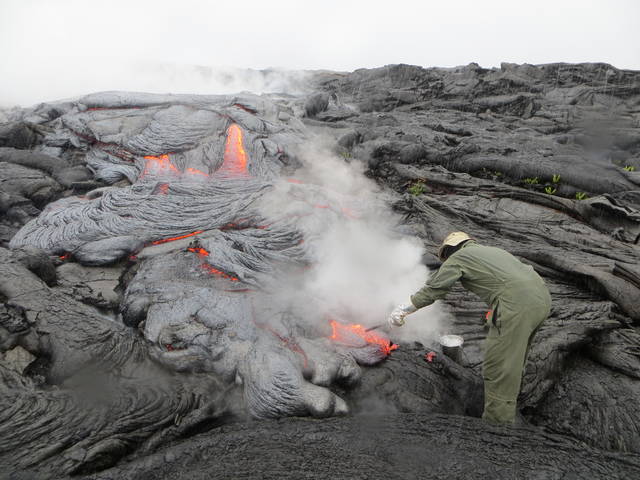
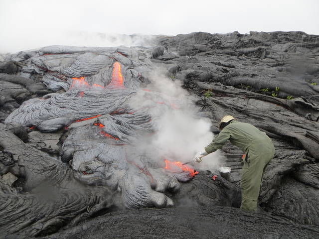
Scientists at the U.S. Geological Survey’s Hawaiian Volcano Observatory routinely collect lava samples from Kilauea and use the chemistry of these samples to infer the temperature of magma (molten rock below Earth’s surface).
Threat rankings of our nation’s geologically young volcanoes
Careful readers of the USGS Hawaiian Volcano Observatory website might have noticed mention of “threat rankings” in the lower right corner of our new home page (https://volcanoes.usgs.gov/observatories/hvo/). There, you’ll find a listing of Hawaii’s active volcanoes — Kilauea, Mauna Loa, Hualalai, Haleakala, Mauna Kea and Loihi — with their associated rankings, which range from “very high threat potential” to ”moderate threat potential,” and, in the case of Loihi, “not ranked.”
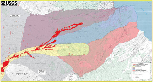
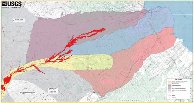
USGS maps identify lava inundation zones for Mauna Loa
The primary goal of the U.S. Geological Survey’s Hawaiian Volcano Observatory is to provide scientific information to reduce risks due to volcanic and seismic activity. To this end, HVO scientists assess volcano hazards and inform the public and civic officials using media outlets, community forums, and other outreach activities.
New Kilauea Volcano summit eruption video hits web
In March 2008, a new volcanic vent opened within Halemaumau, a crater at the summit of Kilauea in Hawaii Volcanoes National Park. The eruption continues today, with continuous degassing, occasional explosive events, and an active, circulating lava lake.
Summer 2017 goes out like a lion with hurricanes and earthquakes: Reminders to be prepared for Nature’s fury
As the summer months began to wind down this year, Nature’s fury began to wind up and grab much of the news cycle.

