Volcano Watch: Kilauea’s 1952 summit eruption ended a long period of inactivity
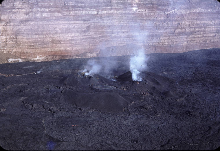
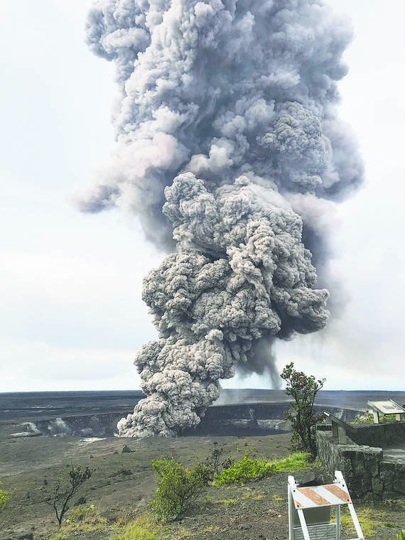
On June 27, 1952, an eruption started at the summit of Kilauea Volcano, ending a period of quiescence that had lasted nearly 18 years.
Volcano Watch: The 1919-20 Mauna Iki eruption at Kilauea Volcano
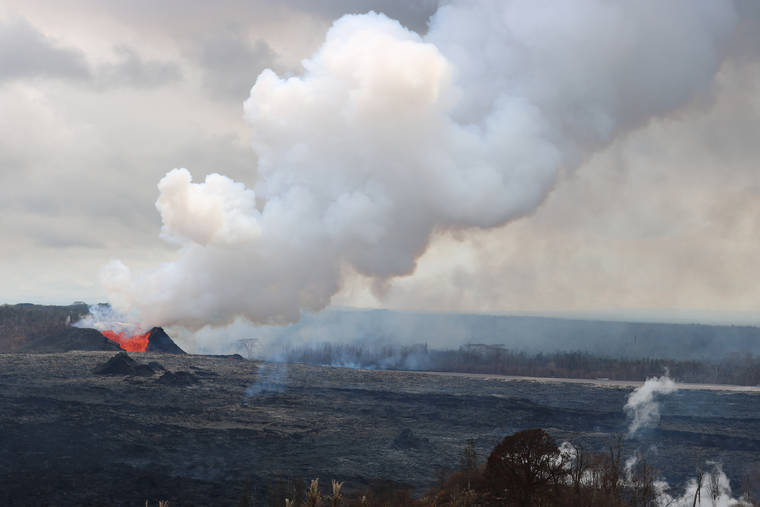
As many people have noted, the last global pandemic was raging one hundred years ago. Kilauea was erupting 100 years ago, although it was certainly not quite as significant of an event on the world stage.
Volcano Watch: Assessing Kilauea’s SO2 emissions
If you were around Hawaii Island — or even other Hawaiian Islands, or Guam — between May and August 2018, you likely know that Kilauea’s lower East Rift Zone (LERZ) eruption released a lot of sulfur dioxide (SO2). But how much is a lot?
Volcano Watch: Several notable Kilauea anniversaries occur at the end of May
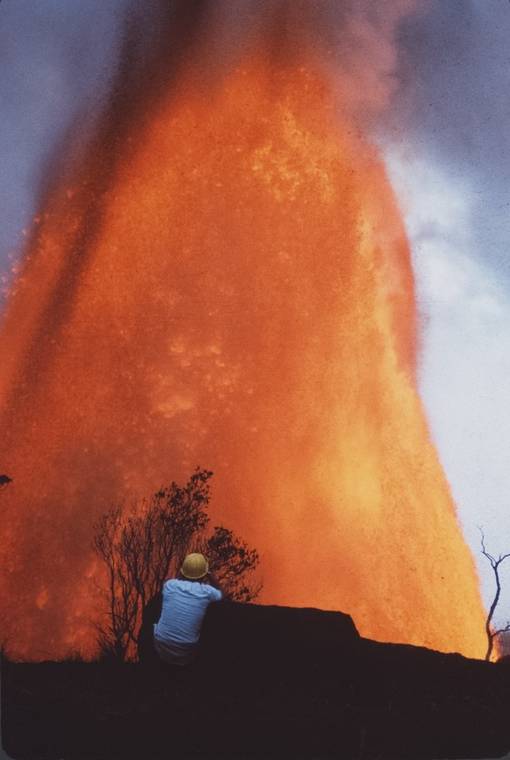
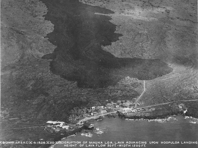
The past two years of “Volcano Watch” articles from late May focused on commemorating the 49th and 50th anniversaries of the Mauna Ulu eruption. However, the end of May has several other notable Kilauea eruption beginnings, changes, and endings. Here we reflect on some selected anniversaries spanning 1823 to 2018.
Lava still cooling in Puna: ‘We’re about halfway there’
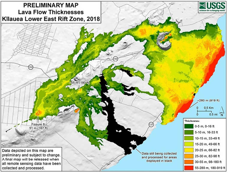
Two years after the start of the Kilauea eruption in lower Puna, lava from the eruption is still estimated to be only half-cooled.
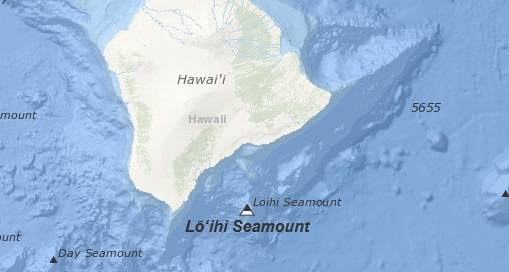
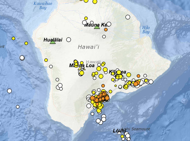
Frequent quakes at Loihi no threat to island, HVO says
An increase in seismic activity around the youngest Hawaii volcano poses no immediate danger to the Big Island, geologists report.
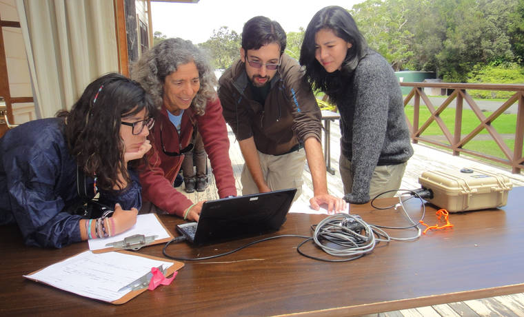
Volcano Watch: HVO assists CSAV with International Training
The mission of the U.S. Geological Survey’s Hawaiian Volcano Observatory (HVO) is “to monitor, investigate, and assess hazards from active volcanoes and earthquakes in Hawaii, and communicate results of this work to the public, emergency managers, and scientific community.”
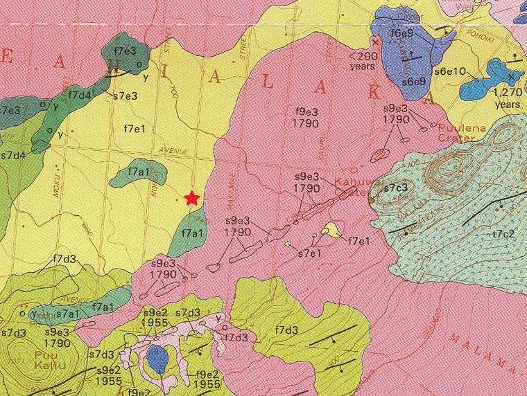
Looking for maps? GIS data? Try the HVO publications page!
Many messages to AskHVO (askHVO@usgs.gov) request resources relating to geologic maps and geographic information systems (GIS) data. “Is there a map of a certain lava flow?” “Where can I find the associated GIS data?” All HVO and USGS publications are searchable at https://pubs.er.usgs.gov/, but this service is most effective if you already know what to look for.
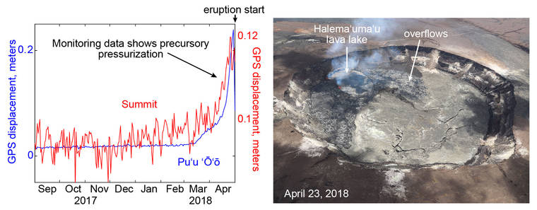
Increasing magma pressure most likely culprit in triggering the 2018 Kilauea eruption
Understanding the immediate causes of volcanic eruptions is necessary for timely warnings. The topic, therefore, is of great interest to volcanologists, and each eruption offers an opportunity to add insight.
More extreme rainfall could mean more volcanic eruptions
The May 3, 2018, eruption of Kilauea volcano caused property damage worth $800 million and injured two dozen people —a catastrophe for the area, but nothing unusual for a volcanic event. But researchers now think there might be something extraordinary about the eruption, after all. Scientists at the University of Miami argue that record-breaking rainfall in preceding months may have helped trigger the blast.
April 1980 was a month to remember at Mount St. Helens
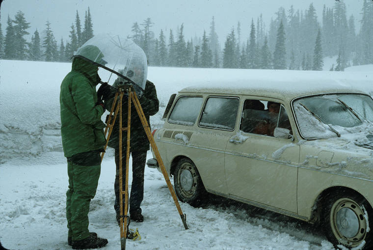
Mount St. Helens was exploding! The first eruption in the Cascades since 1914-17 (Lassen Peak) started on March 27, 1980. April became a frenzied, exciting, challenging, sometimes frustrating, once-in-a-lifetime experience for several scientists with experience at the U.S. Geological Survey (USGS) Hawaiian Volcano Observatory (HVO), called on to measure the deforming volcano.
VOLCANO WATCH: Aloha and Happy Retirement to Janet Babb
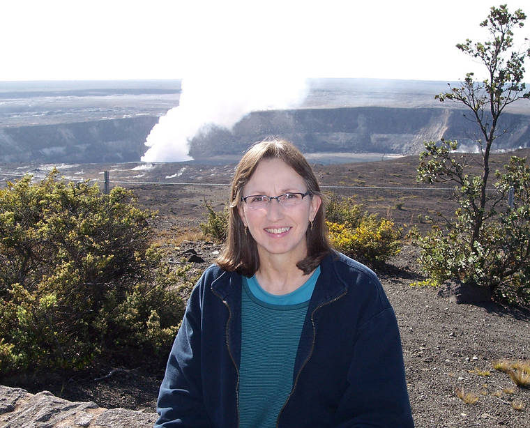
With heavy heart, the USGS Hawaiian Volcano Observatory (HVO) bids aloha to Janet Babb, outreach geologist and educator extraordinaire who retired from federal service in late March. Because of her dedication and guidance over the years, HVO is well-positioned to carry on a tradition of quality media and public engagement.
Nearly 6,000 small, deep earthquakes recorded near Pahala since August 2019
Nearly 6,000 earthquakes have been recorded in the past eight months beneath Kilauea’s lower Southeast Rift Zone near Pahala in Ka‘u.
Volcano Watch: HVO looks to the past to better understand future Mauna Loa eruptions
Mauna Loa, the largest active volcano on Earth, has erupted, on average, every 5–6 years during the past 3,000 years.
Water, ash, and the great unknown of explosive volcanic eruptions
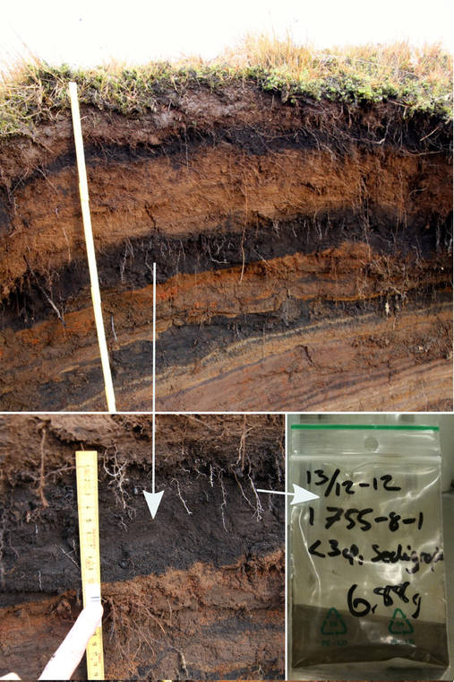
The presence of water in Halema’uma’u has sparked an important discussion about what the pond means for future eruptions at Kilauea Volcano. There are no written records of water at the summit, so to guide the discussion we need information about magma-water interaction from deposits of the past.
HVO’s geological sample collections are an important resource
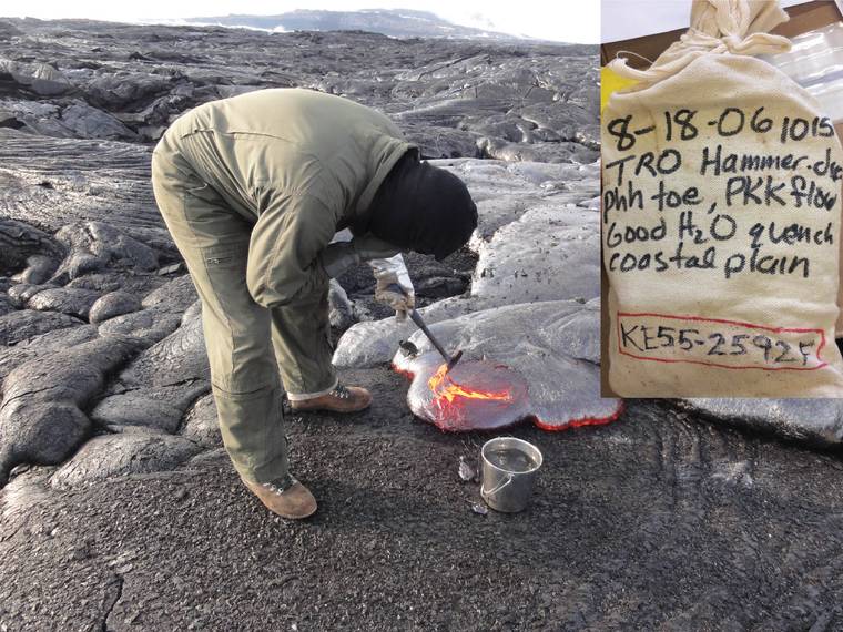
In the past, HVO would occasionally post images of people collecting lava samples on our website. These photos usually featured a person (with little-exposed skin) holding a rock hammer, with a metal bucket nearby. The bucket contained water to quench the sample, solidifying the hot lava into a cold glass. Natural-fiber or heat-resistant gloves, and sometimes a face mask, protected the sample collector from heat radiating off the 2,100-degree lava. The hammer was used to scoop some of the molten material into the bucket, which would hiss and steam in reaction; more water would be added to cool down the sample so it could be placed in a cloth bag.
Hawaii Volcanoes National Park remains open
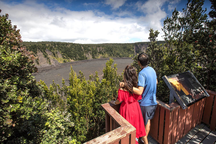
Hawaii Volcanoes National Park remains open, however, the Kilauea Visitor Center is closed as the coronavirus pandemic continues.
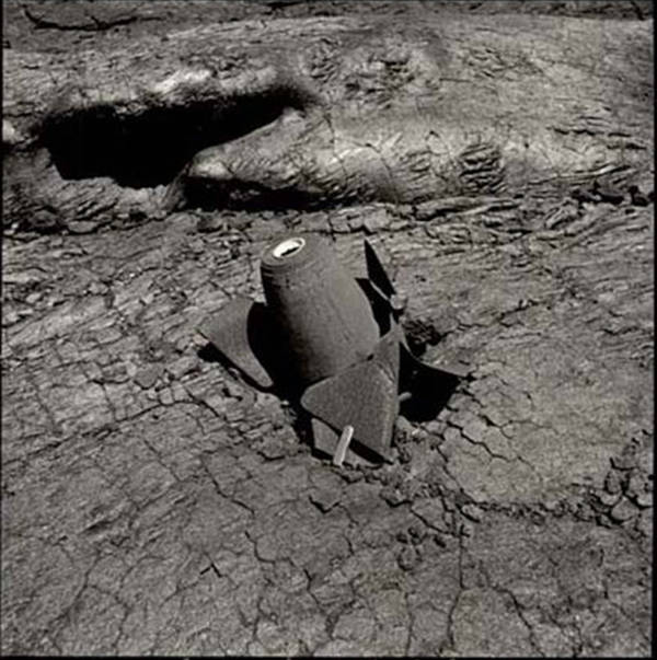
Old bombs found on Mauna Loa: The rest of the story (Part 2)
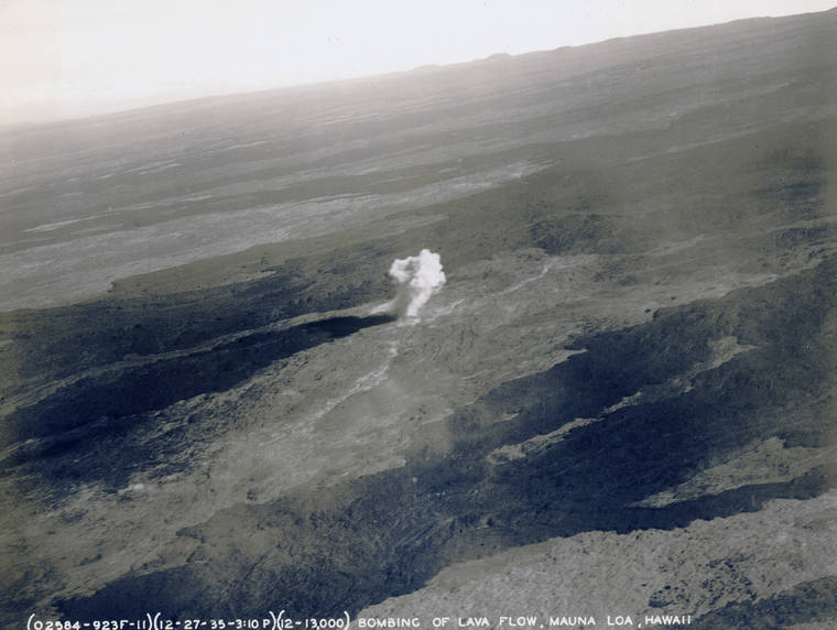
Last weeks Volcano Watch provided details of events leading up to the dropping of bombs on a Mauna Loa lava flow on Dec. 27, 1935. Heres the rest of the story.
Old bombs found on Mauna Loa: The rest of the story (Part 1)
In late February, Hawaii media reported on the recent discovery of two bombs on the north flank of Mauna Loa, but details were lacking. Today, we offer more info.
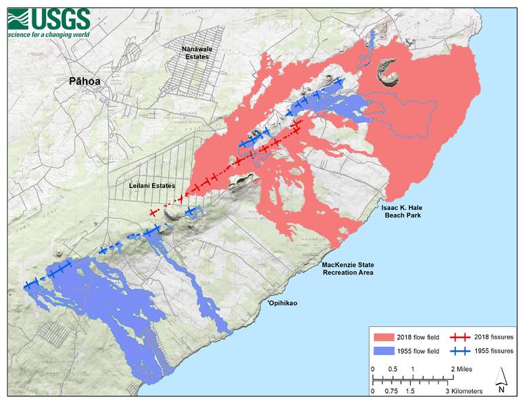
63 years apart: A tale of two eruptions
This week marks 65 years since Kilauea Volcanos eruption.

