A closer look at Kohala Mountain: The Big Island’s oldest above-water volcano
During the past weeks, West Hawaii Today has been taking a closer look at each of the volcanoes on and around Hawaii Island. This week: Kohala Mountain. The final edition of this series publishes Nov. 23.
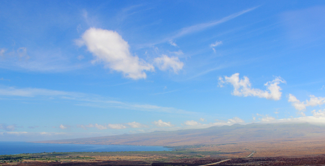
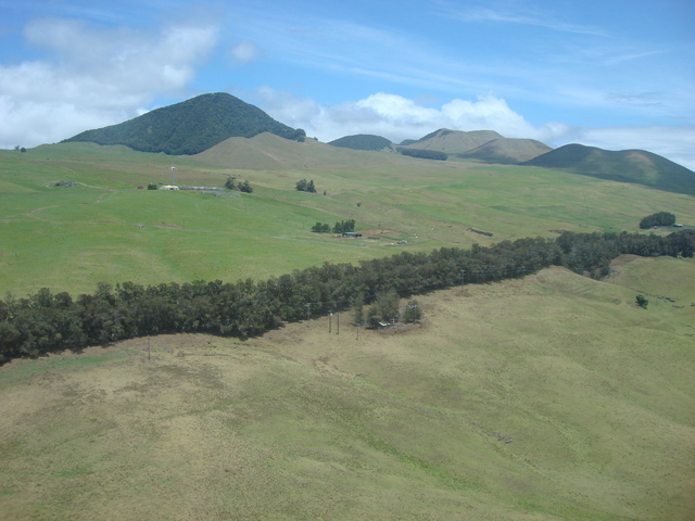
There’s little new geologically about the Big Island’s oldest above-water volcano. Its summit — north of Waimea — has been dry land for more than 500,000 years, and it last erupted more than 65,000 years ago. Yet modern scientific findings continue to morph our understanding of the extinct volcano’s past and how it has shaped life on Hawaii Island for centuries.
Though Kohala is not as massive as Hawaii Island’s other volcanoes, and probably never was, the understanding of the area encompassed by Kohala has changed in the past 20 years.
“Kohala is an elongate volcano running northwest by southeast,” said University of Hawaii volcanology professor Scott Rowland, who was a part of the comprehensive mapping of Kohala’s lava flows in the mid-1980s. “I think many scientists (who study Hawaiian volcanoes) are coming around to the idea that the Hilo Ridge — north of Hilo and underwater — is probably part of Kohala.”
Robin Holcomb, a former Hawaiian Volcano Observatory staff member, challenged long-held beliefs that the ridge was built by eruptions along a rift zone of Mauna Kea, with his team’s findings in the late 1990s. After dredging rocks along Hilo Ridge, he discovered their chemical compositions were not consistent with eruptive material from Mauna Kea, but instead more closely matched Kohala’s.
“Kohala was a very long, skinny volcano. And, when Mauna Kea started growing, it buried most of the middle,” said Rowland. But, what we consider Kohala Mountain is only a fraction around the summit of the original volcano, and the volcano’s changing shape also speaks to its long evolution.
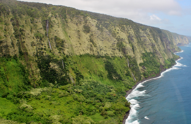
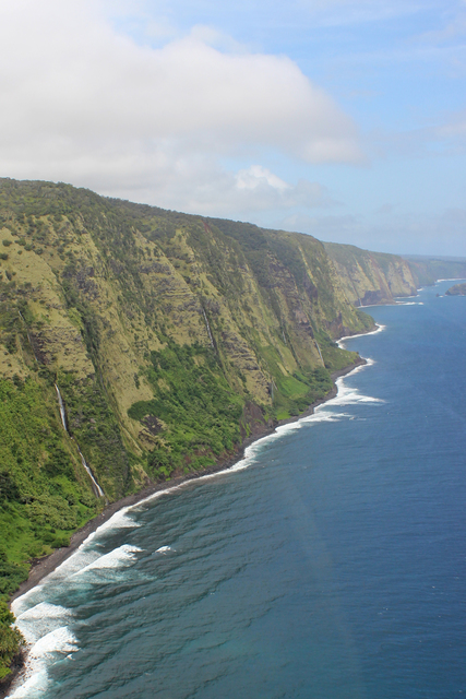
Between 250,000 and 300,000 years ago, a huge avalanche consumed a slice of the volcano’s northeast flank more than 12 miles wide at the shoreline. The debris spilled more than 80 miles out and onto the ocean floor. The lasting effects can still be seen today in the sheer cliff walls of the windward Kohala shoreline.
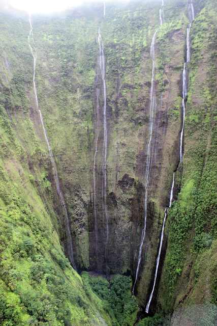
In 1964, scientists studying Mauna Loa and Kohala realized they both had experienced large avalanches. In the 1980s, the volcanology community began to realize avalanches are a common occurrence on volcanoes and new studies found avalanches indirectly contribute to the volcanoes’ shape for millennia afterward when streams flowing on the volcano’s surface suddenly lose the ground beneath them and turn into massive waterfalls.
“What that does is cause very rapid erosion. Just think of the huge energy of water at the base of a waterfall,” said Rowland. “The erosion of streams is sped up not only right there at the waterfall, but all the way back along the length of a stream. This helps to explain why on Kohala you have four great big rivers — Waipio, Waimanu, Pololu and Honokane — and just a whole bunch of little ones.”
In 2004, a different research team found that a large historical avalanche on another volcano — the western flank of Mauna Loa — also left its mark on Kohala. An international group of scientists led by University of Hawaii researchers revisited a fossil deposit first found high on Kohala’s flanks in the 1930s. They found the age of the fossils matched an offshore coral terrace from the same time period, as well as the timing of Mauna Loa’s huge avalanche 120,000 years ago. This led them to surmise that Mauna Loa’s landslide likely triggered a mega-tsunami that dislodged the coral pieces and swept them almost four miles inland and 1,600 feet up the side of Kohala.
Owing to its age, one of the unique things about Kohala, said Rowland, is there is a long time break between eruptions, particularly during the post-shield phase. “On Kohala, you can find places in gulches where you can identify the main shield lavas and a nice, thick soil that developed on top of that during the post-shield.”
These soils atop the post-shield lava flows, he explained, are exposed in gullies, and recently were the source of another discovery. “For reasons I don’t think anyone really fully understands,” said Rowland, “Kohala’s later lavas, the post-shield lavas, have reasonably high amounts of the mineral phosphorous in them and this is unique to Hawaiian volcanoes.”
This is significant because, phosphorous is one of the nutrients plants need to grow. Archaeological studies have found that early Hawaiians recognized certain areas along the flows that allowed them to cultivate better plants. On the dry side of the volcano — where minerals weren’t constantly being leeched by persistent rainfall — that had the older phosphorous-rich flows, archaeologists have found evidence of extensive historical dryland agricultural systems. “They seemed to have found the sweet spot between rainfall and phosphorous content,” said Rowland.
And, there’s much more to learn about Kohala’s past in the future.
“It’s certainly a place where there is more geologic work to be done,” said Rowland. “We haven’t yet unraveled all of Kohala’s secrets.”


