A potentially strong El Nino developing in the Pacific didn’t keep portions of South Kona from having the wettest April in a decade. ADVERTISING A potentially strong El Nino developing in the Pacific didn’t keep portions of South Kona from
A potentially strong El Nino developing in the Pacific didn’t keep portions of South Kona from having the wettest April in a decade.
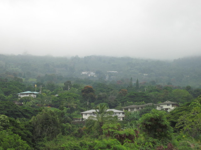
Potent afternoon showers through the coffee belt were a boon to crops of green coffee beans, with gauges from Kainaliu to Honaunau measuring between two and three times normal totals. Nearly 12 inches of rain fell for the month in Honaunau — 271 percent above an average of 4.4 inches. One particularly wet shower in the afternoon and evening of April 5 delivered 4.6 inches, according to a National Weather Service rainfall summary.
The Saddle Road Quarry gauge registered 25.8 inches for April, 177 percent above average.
Una Greenaway, who grows organic coffee, cacao and other products at Kuaiwi Farm in Honaunau, said a 17.2 inch total for April was boosted by a 8.1 inch soaking on Easter.
Rain is good for coffee, but so are dry periods that stress the coffee and force a bloom. This past winter has been ideal, Greenaway said, with the coffee orchard headed for its sixth bloom.
Twenty-six out of 40 of the island’s gauges were below normal for April, and the trend since the beginning of the year has been a dry one. If El Nino strengthens like some forecasters are predicting, that drying out will be seen again most intensely in the coming winter months, NWS senior hydrologist Kevin Kodama said.
“It’ll be interesting to see how it all unfolds,” Kodama said. “There’s nothing like living in a lab.”
Meteorologists don’t all agree on what will happen with El Nino. Some are calling for a strong event, pointing to water temperatures that are already 2 degrees Fahrenheit above normal along the equator. El Ninos are famously hard to predict in the spring because many of the factors are still unfolding and the interaction is still being formed between the sea surface and the environment above it. Scientists tend to be cautious in their predictions during these months, Kodama said.
“This time of year the relationship isn’t as clear,” he said.
But some El Nino experts are beginning to shed that caution. Axel Trimmermann, a professor of oceanography at the International Pacific Research Center in Honolulu, said he and at least two other El Nino specialists, FeiFei Jin and Wenju Cai, are confident the current weak event will intensify. That will likely increase summer rainfall and lead to a dry winter, Trimmermann said.
“The NOAA CFS model predicts a very strong El Nino by the end of this year, comparable to the 1997-98 event,” Trimmermann said in an email. “NOAA’s model forecasts are so far the strongest, compared to other El Nino forecasting centers. It should also be noted that the NOAA model over-predicted the amplitude of the 2014 El Nino substantially.”
But there are major differences between the overestimated 2014 event and the current situation, Trimmermann said, including higher sea surface temperatures to build from, and wind patterns that are already symptomatic of El Nino.
“We have a very typical weakening of the equatorial trade winds, which is very likely to accelerate the warming in the eastern tropical Pacific,” Trimmermann said. “We are now in May, which means that El Nino predictions are much more reliable than those initialized in March and April. This gives us further confidence that a sizable event is currently brewing.”
The year started off with a small El Nino event — one that researchers call El Nino Modoki, Trimmermann said. That event was characterized by Central Pacific warming, in contrast to the typical Eastern Pacific warming usually associated with the classical El Nino pattern, he said.
The averaged predictions of numerous models show sea surface temperatures in the eastern equatorial Pacific peaking at more than 5 degrees above normal in November, according to IPRC data.
“What we have been seeing in the last month is a transition from a weak Central Pacific El Nino Modoki to an eastern tropical Pacific El Nino,” Trimmermann explained. “The main reason for this transition is that in mid-March, a very strong equatorial wind burst in the western tropical Pacific kicked off a massive Kelvin wave, which currently moves a huge amount of heat to the eastern Pacific, where it is starting to emerge at the surface. The atmosphere responds to this eastern tropical Pacific surface warming by further weakening the equatorial trade winds. This is a positive feedback which will further enhance the warming over the next months.”


