Dry times ahead: Drought forecast to worsen over leeward areas

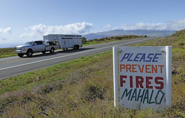
A vehicle passes a sign placed along Mamalahoa Highway, also known as Highway 190, in South Kohala reminder motorists to prevent fires. Drought conditions are forecast to worsen over leeward areas of the Big Island as the state heads into the dry season. (Chelsea Jensen/West Hawaii Today)

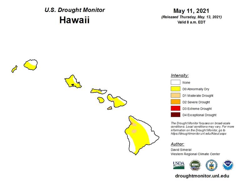
On the Big Island, abnormally dry conditions covered nearly two-thirds of the island, stretching from Upolu Point in North Kohala to North Kona, around the Kona Coffee Belt, to South Point in Ka‘u. Areas of moderate drought had already cropped up in South Kohala with a pocket of severe drought taking hold near Kawaihae. (U.S. Drought Monitor/Special to West Hawaii Today)

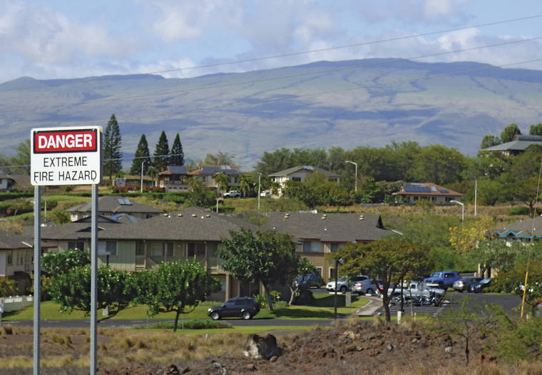
A sign along Waikoloa Road warns of extreme fire hazard near Waikoloa Village. Drought conditions are forecast to worsen over leeward areas of the Big Island as the state heads into the dry season. (Chelsea Jensen/West Hawaii Today)

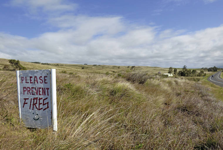
A sign placed years ago near a remote home in South Kohala reminds motorists on Highway 190, also known as Mamalahoa Highway, to prevent fires. (Chelsea Jensen/West Hawaii Today)
Drought conditions are forecast to worsen over leeward areas of the Big Island as the state heads into the dry season.
Drought conditions are forecast to worsen over leeward areas of the Big Island as the state heads into the dry season.
NOAA’s Climate Prediction Center’s probabilities favor below-normal rainfall from May through September, Honolulu-based National Weather Service Senior Hydrologist Kevin Kodama said Wednesday. That’s thanks to La Nina conditions ending and ENSO-neutral conditions taking hold in the Pacific that are expected to persist through the summer.
“This means that the existing areas of drought in Maui County and the Big Island are expected to worsen and expand,” Kodama said. “We will possibly — or maybe even probably — be seeing extreme drought, or the D3 drought monitor category.”
Some windward areas could see moderate or possibly even severe drought this summer, Kodama added noting that while there may be a normal number of days of rainfall, the amount received each day will be less than normal.
“You could even see about half or so of the amount of daily rainfall,” he said. “This means that water supply systems that depend on surface water or rainfall catchment will be the most vulnerable to this type of condition.”
As of the most recent U.S. Drought Monitor report issued last Thursday, all islands were already seeing swaths of abnormally dry conditions.
While the majority of the state is entering dry season, the wet season is now upon the Kona slopes of the Big Island. However, there will likely be less rainfall than the slopes have seen in recent years.”
“We’re looking at near to below normal for Kona side,” he said. “You’re going to get your wet season during this time of year but probably looking at less rain that previous more recent summers.
Since 2014, warmer water temperatures have helped fuel rainfall along the slopes, providing for wet summers, however, ocean temperatures are cooling.
“I think that string will be broken,” said Kodama. “It’s finally cooling off a bit and so there will be less fuel to produce rainfall.”
But it shouldn’t be as bad as the previous droughts.
“It’s not looking like a 2010 kind of drought. Nothing like that,” he said.
Wednesday’s dry season forecast follows the end of the state’s wet season, which runs from October to April. Kodama characterized the period as “interesting.”
The dry season opened with a strengthening La Nina in the Pacific and the experiencing severe and extreme drought in all counties, particularly in leeward areas. A strong La Nina often means less rainfall for leeward areas.
“The wet season ended up producing above average rainfall at many locations, especially in Kauai County and on Oahu with February and March rainfall providing the most drought relief in the state,” said Kodama. “Leeward Kohala on the Big Island stands out as one of the main areas with below-average wet season rainfall and drought has already returned to the South Kohala district.”
In terms of rainfall statistics, Hawaii saw its eighth wettest wet season in the last 30 years, he said.
On the Big Island, the North and South Kohala districts had mostly below-average rainfall with about 30% to 70% of average totals counted. The remainder of the Big Island saw totals greater than 100% of average.
“Hilo Airport had its seventh wettest wet season in the last 30 years,” said Kodama.
Around the state, Kauai saw totals greater than 120% of average, while Oahu saw between 80% and 120% of average rainfall. Maui County’s totals were also mostly near normal, despite starting the season off dry.


