Kilauea shows continued ‘signs of unrest’; parts of HVNP remain closed
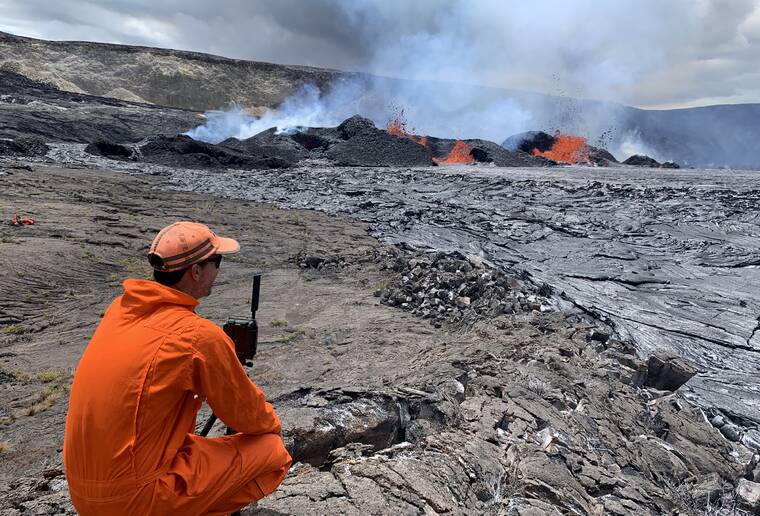
The area just south of Kilauea volcano’s summit continues to show signs of unrest, and inflation remains at about its highest level in more than five years and has nearly returned to the level seen just before the last eruption on Sept. 10, the Hawaiian Volcano Observatory reported Monday.
Elevated seismicity beneath Kilauea’s summit region, which began Oct. 4, increased again around 8 p.m. Sunday night after about 18 hours of moderate to low earthquake counts.
Over the previous two days, about 270 earthquakes were recorded in the summit region. Most of the earthquakes from the seismic swarm south of the caldera are at depths of around 1.5 to 2 miles below the surface.
No unusual activity has been noted along the East Rift Zone or Southwest Rift Zone.
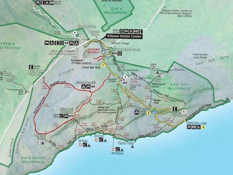
Due to the elevated seismic activity and inflation at Kilauea, Hawaii Volcanoes National Park has temporarily closed parts of the park until further notice.
The affected areas include:
— Hilina Pali Road from Chain of Craters Road to Hilina Pali Overlook;
— Kulanaokuaiki Campground;
— Pu‘upua‘i parking lot, Pu‘upua‘i Overlook, and the trail that connects Pu‘upua‘i Overlook to Devastation Trail;
— Devastation parking lot and Devastation Trail;
— Keanakako‘i Overlook and the paved trail from Chain of Craters Road;
— Crater Rim Trail from Chain of Craters Road to Keanakako‘i Crater;
— Maunaiki Trail;
— Ka‘u Desert Trail.


