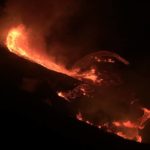
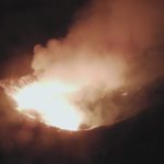
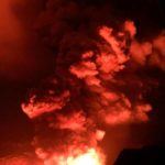
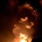
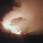
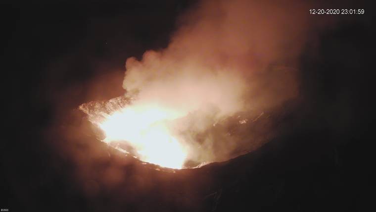
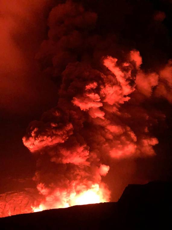
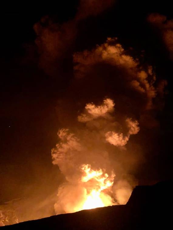
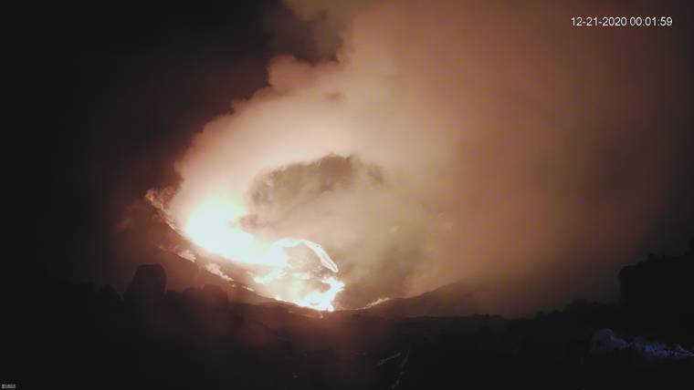
Hawaii County Civil Defense said the eruption that commenced shortly after 9:30 p.m. Sunday remains confined to the Kilauea Volcano’s summit caldera.
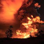
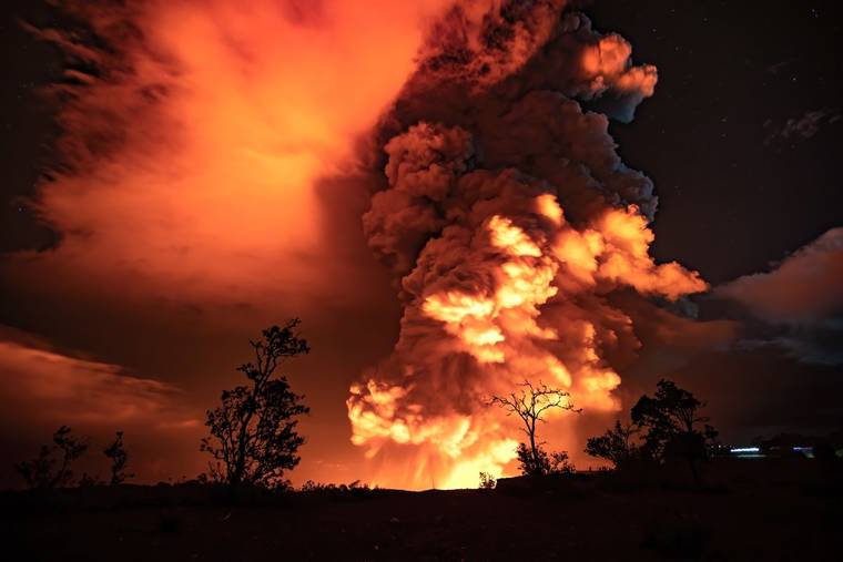
“According to HVO (Hawaiian Volcano Observatory), it looks like it’s all contained within the crater, however, the National Weather Service did say that there was a plume that was released from Halemaumau that had rised for 30,000 feet,” Bill Hanson with Hawaii County Civil Defense said shortly before 11:30 p.m.
He said Civil Defense is monitoring the situation, particularly the plume, which prompted a special weather statement from the National Weather Service. Winds were blowing the plume south and then southwest.
“We’re not sure if it contains ash or just water vapor at this time, so tonight we will be monitoring that as well and get back to HVO should we see anything come down in the Ka‘u District,” Hanson told West Hawaii Today, adding the plume was “very white” indicating high water content.
Civil Defense cautioned that ash fallout is likely in Wood Valley, Pahala, Naalehu and Ocean View, and advised residents and visitors to stay indoors to avoid exposure to ash.
At 12:21 a.m. Monday, the National Weather Service said in an updated special weather statement that Civil Defense reported no ashfall near and downwind of Kilauea’s summit, including on Highway 11.
Hanson said Sunday night that Civil Defense had received no reports of damage from the public. In addition, he said no damage was reported at the observatory or within the park.
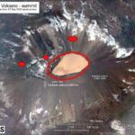
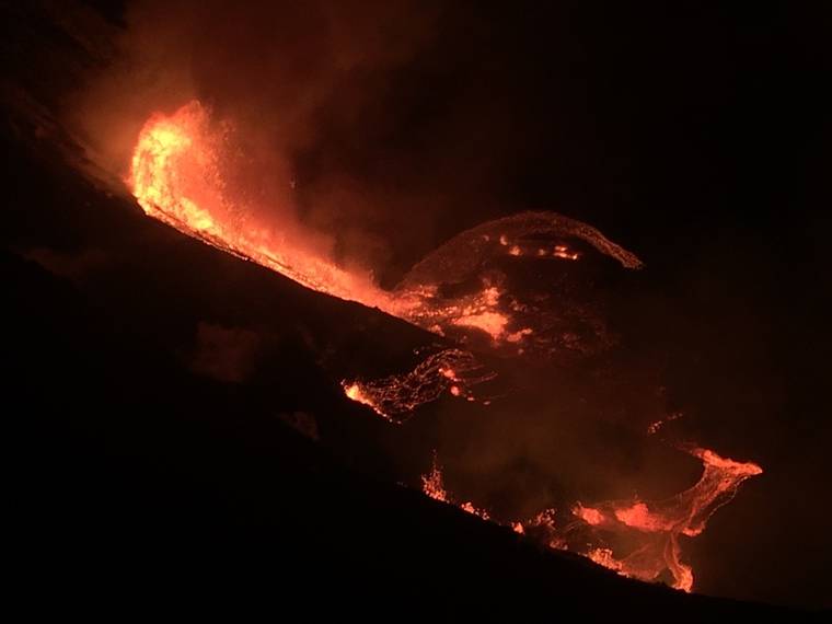
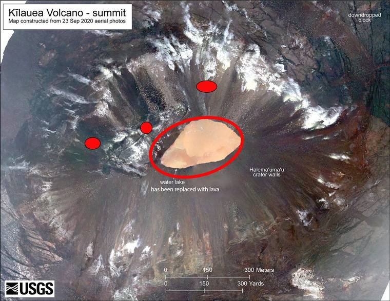
According to the U.S. Geological Survey, the eruption began at 9:36 p.m. with multiple fissures opening on the walls of Halemaumau crater. The tallest lava fountain was 165 feet.
“The lava cascaded into the summit water lake, boiling off the water and forming a new lava lake at the base of the crater,” the survey said.
For the past several weeks, the USGS Hawaiian Volcano Observatory has recorded ground deformation and earthquake rates at Kilauea Volcano’s summit and upper East Rift Zone that have exceeded background levels observed since the conclusion of the 2018 lower East Rift Zone eruption and summit collapse, the observatory said late Sunday.
Beginning in September 2020, increased rates of uplift were observed by GPS stations in Kilauea’s upper East Rift Zone. In the past month, increased uplift was measured at GPS stations in Kilauea’s summit region. While uplift related to post-collapse inflation of the summit reservoir has been occurring since March 2019, rates have been steadily increasing in recent months and are currently higher than they have been since the end of the 2018 eruption.
In late November 2020, according to the observatory, increased earthquake rates began when seismic stations recorded an average of at least 480 shallow, small-magnitude earthquakes (97% of which were less than or equal to magnitude-2.0) per week occurring at depths of less than 2.5 miles beneath Kilauea’s summit and upper East Rift Zone. This compares to a rate of fewer than 180 per week following the end of Kilauea’s 2018 eruption and through early November 2020.
On Dec. 2, GPS stations and tiltmeters recorded a ground deformation event at Kilauea’s summit. Accompanied by earthquake swarms, the observatory said the patterns of ground deformation observed were consistent with a small dike intrusion of magma under the southern part of Kilauea caldera.
The injection resulted in about 3 inches of uplift of the caldera floor, and modeling suggests that it represented 0.4–0.7 million cubic yards of magma accumulated approximately 1 mile beneath the surface. Though the intrusion did not reach the surface and erupt, it represented a notable excursion from trends observed in Kilauea summit monitoring data streams following the end of the 2018 eruption.
On Thursday, seismometers detected a notable increase in occurrence and duration of long-period seismic signals beneath Kilauea’s summit, which are attributed to magmatic activity, the observatory said. Whereas this type of seismicity was observed on average once every few weeks following the 2018 eruption, rates increased to over a dozen in the past several days.
Other monitoring data streams including volcanic gas and webcam imagery were stable until Sunday’s eruption.
According to the observatory, Sunday night’s eruption was preceded by an earthquake swarm accompanied by ground deformation detected by tiltmeters. An orange glow was subsequently observed on IR monitoring cameras and visually beginning approximately 9:36 Hawaii time.
Civil Defense said a magnitude-4.4 earthquake that struck at 10:36 p.m. on Kilauea’s south flank was not large enough to cause a tsunami.
Previous updates: The Hawaiian Volcano Observatory has upgraded Kilauea Volcano’s alert level to “WARNING” and aviation color code to “RED” following an eruption that commenced shortly after 9:30 p.m. Sunday.
Shortly after 9:30 p.m., the USGS Hawaiian Volcano Observatory said scientists detected glow within Halemaumau crater at the summit of Kilauea Volcano.
“An eruption has commenced within Kilauea’s summit caldera. The situation is rapidly evolving and HVO will issue another statement when more information is available,” the observatory said. “Accordingly, HVO has elevated Kīlauea’s volcano alert level to WARNING and its aviation color code to RED.”
The observatory said it is in communication with Hawaii Volcanoes National Park and Hawaii County CIvil Defense.
The National Weather Service’s Honolulu Forecast Office at 10:49 p.m. issued a “special weather state” advising “web cams and radar data indicate a strong eruption has occurred at Halemaumau Crater. Low level trade winds will push any embedded ash toward the southwest, and any fallout will likely occur over the Kau District and Highway 11 southwest of the town of Volcano. This includes the communities of Pahala, Wood Valley, Naalehu and Ocean View.
“Avoid excessive exposure to ash which is an eye and respiratory irritant. Those who respiratory sensitivities should take extra caution,” the statement continued.
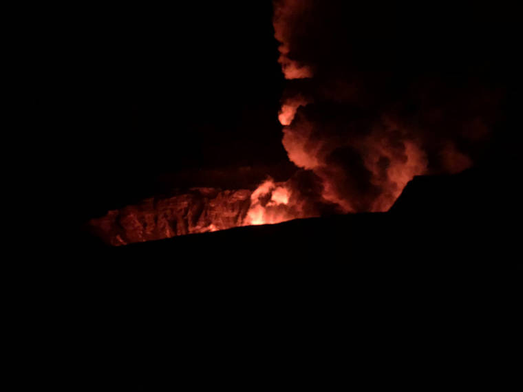
Hawaii Volcanoes National Park reported late Sunday a new eruption inside Halemaumau at Kilauea Volcano’s summit.
Along with a photo posted to the park’s official Twitter page at 10:17 p.m. Sunday, the park stated “Happening now: a new Kīlauea eruption inside Halemaʻumaʻu. NPS Photo: B.Hayes.”
No additional information was immediately available. The news was also posted on the park’s Facebook page.
Kilauea Volcano last erupted in 2018.
Recently, the USGS Hawaiian Volcano Observatory said its monitoring network recorded a first post-eruption event at Kilauea’s summit: a magmatic intrusion. Following an earthquake swarm on Nov. 30 that was centered in the middle of Kilauea caldera, several pulses of heightened earthquake activity were recorded in the upper East Rift Zone.
Early Dec. 2, HVO detected another spike in summit seismicity rates, which continued throughout the day. Then, at about 5:45 p.m., earthquake activity intensified, this time centered under the southern part of Kīlauea caldera, near the edge of the new down-dropped eastern portion. At the same time, tiltmeters began to record accelerated deformation in directions that differed from typical patterns.
Both the swarms and pattern of ground deformation were consistent with a small dike intrusion under the southern part of Kilauea caldera, HVO said in its most recent Volcano Watch. A dike intrusion is an injection of magma into host rock and can sometimes precede an eruption. But often, like on Dec. 2, the injection does not reach the surface.
Intrusions have been recorded at Kilauea’s summit many times. A notable recent occurrence was in May 2015, when inflation of Kilauea’s shallow Halemaumau reservoir led to a week of overflows of the summit lava lake and sprays of spatter visible from the Jaggar Museum overlook. That ended when magma was diverted to an intrusion in Kilauea’s south caldera region, which lowered the summit lava lake.
Preliminary models suggest that the Dec. 2 intrusion was small. It contained anywhere from 10 to 30 times less magma than the intrusion in May 2015 and its volume is equivalent to the amount of lava erupted in just one to two hours from Fissure 8 during the 2018 eruption. However, even though it’s small, it’s still a potential clue for future behavior, the observatory said.
