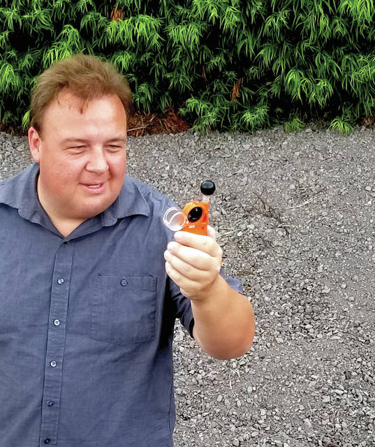
WAIKOLOA — Michael Phillips is one of just 20 people in the world invited by the European Space Agency (ESA) to attend a rocket launch event at ESA headquarters in Darmstadt, Germany this Wednesday.
The launch is scheduled to lift off the Sentinel-3b Earth Observing satellite into space from the European Space Operations Center (ESOC).
A Waikoloa resident, Phillips is one of the meteorologists on the Weatherboy team who reports on weather and environmental news stories around the world using @theWeatherboy on Twitter, theWeatherboy on SnapChat and theWeatherboy on Facebook to communicate with more than 300,000 US-based social media followers. He attended two prior Sentinel satellite launches in Europe, earning the moniker of being a “Sentinerd” from ESA.
While Europeans are launching this satellite, people from around the world will be able to tap into its data and imagery for free. Sentinel-3 is designed to provide continuous measurements of land, ocean temperature and color from which bio-geo-chemical products are derived, as well as ocean surface topography from which geostrophic ocean currents may be derived. Each Sentinel-3 satellite carries an Ocean and Land Color Instrument (OLCI), a Sea and Land Surface Temperature Radiometer (SLSTR), a Synthetic Aperture Radar Altimeter (SRAL) and Micro Wave Radiometer (MWR).
The data from these instruments feed the Copernicus Marine Environment Monitoring Service’s (CMEMS) ocean forecasting models and also support the environment, agriculture and climate monitoring ongoing by the Copernicus Land Monitoring Service (CLMS). Copernicus is the new name for the Global Monitoring for Environment and Security program, previously known as GMES. This initiative is headed by the European Commission (EC) in partnership with the European Space Agency.
Wednesday’s Sentinel-3b satellite launch will be aligned with its twin satellite, the Sentinel-3a, to provide comprehensive global coverage for Copernicus.
The blue waters off the Hawaii coast are key to this satellite mission’s success.
Mark Drinkwater, who heads the ESA Earth and Mission Science Division, said, “In situ data are used for calibration, performance verification and validation of Sentinel satellite data. For example, Sentinel-3 uses the NOAA Marine Optical Buoy in Hawaii and the European Boussole system in the Mediterranean.”
By calibrating their sensors on these clear, colorful bodies of water, the Sentinel satellites can accurately depict the health and movement of land and sea around the planet.
Phillips doesn’t mind the more than 50 hours of travel time required to bring him from Hawaii to Germany for an event that’ll unfold over just minutes and hours at ESOC.
“The science the Sentinel-3 satellites unlock benefits humankind around the globe. Flying around the world to participate in the launch event and share that experience and knowledge with Weatherboy followers is an incredibly rewarding experience,” he said.
Phillips flew more than 300,000 miles last year to cover weather events around the world, making him one of United Airlines’ most frequent flyers.
“I’m proud to represent the U.S. and Hawaii at this event and look forward to sitting alongside other social media leaders around the world to get the word out about Sentinel-3,” he added.


