KAILUA-KONA — Fernanda became a major hurricane early Friday and is expected to continue strengthening as it tracks west toward Hawaii. ADVERTISING KAILUA-KONA — Fernanda became a major hurricane early Friday and is expected to continue strengthening as it tracks
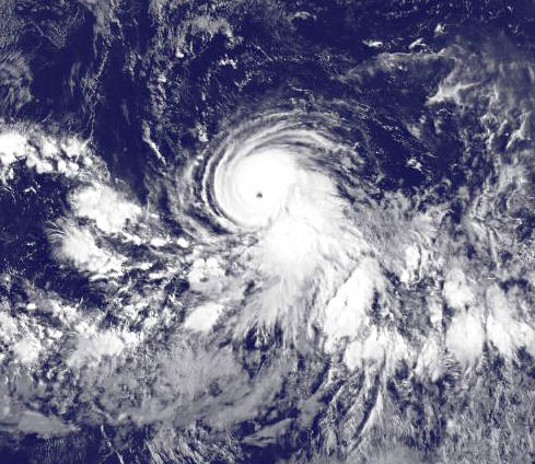
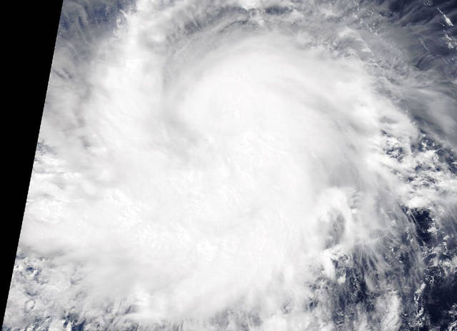
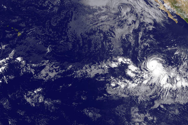
KAILUA-KONA — Fernanda became a major hurricane early Friday and is expected to continue strengthening as it tracks west toward Hawaii.
As of Friday morning, Fernanda was a Category 3 storm packing 115 mph winds and tracking west at 12 mph about 2,480 miles east-southeast of Hilo, according to National Hurricane Center data. It is the second major hurricane of the Eastern Pacific hurricane season.
Warm sea surface temperatures and light shear, are expected to continue fueling Fernanda, which could be upgraded to a Category 4 (wind speeds of 130-156 mph) storm this weekend.
Based on current forecast models, Fernanda is expected to peak Saturday night into Sunday with 145 mph winds before cooler waters and drier air will begin to weaken the storm to a Category 1 hurricane packing 85 mph winds by Wednesday morning. At that time, it’s expected to be about 1,100 miles east of the Big Island and preparing to enter the Central Pacific, which is where Hawaii is located.
The system is not currently a threat to the Hawaiian Islands, however, a long period east swell from Fernanda is forecast to arrive by Tuesday or Wednesday. The size of this swell will be dependent on the eventual track and intensity of the system, Honolulu-based forecasters with the Central Pacific Hurricane Center said.
Closer to Mexico, a broad area of low pressure has formed several hundred miles south-southwest of the Gulf of Tehuantepec. A tropical depression is expected to form early next week as the system moves slowly toward the west-northwest.
In the Central Pacific, no tropical cyclones are expected to form within the next couple of days.


