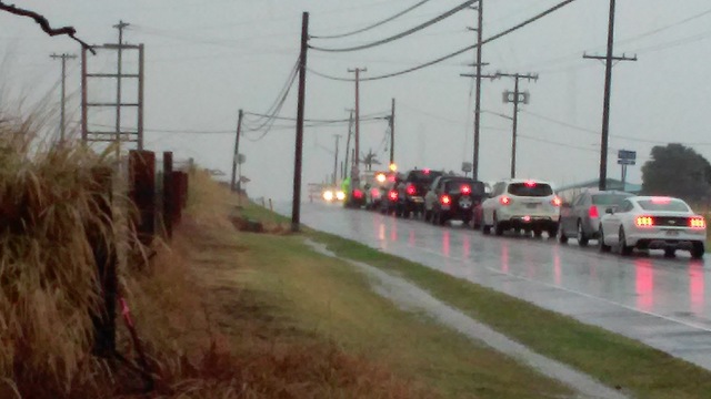
Dry west side gets ‘good’ rainfall
KAILUA-KONA — East Hawaii may have taken the brunt of the rainfall as a winter storm moved over the Big Island this weekend, but West Hawaii wasn’t left dry.
Between Thursday and Monday mornings, most areas of West Hawaii (from Naalehu to Honokaa) saw about 3/4 inch to 1.5 inches of rain while western areas of Ka’u on Mauna Loa’s southern and southeastern slopes saw more than 3 inches, according to the National Weather Service’s automated rain gauge reports.
“It was a good rainfall for the west side because the daily totals were generally small at less than an inch,” NWS Senior Hydrologist Kevin Kodama said. “That’s the good type of rain. It’s been pretty dry on the west side so this definitely helps and when you get that nice steady rain. That’s the type of rain you want because it helps to get it percolated in the soil — you don’t get significant flooding or top soil erosion — it sort of just gets down into the soil.”
Western areas of Ka’u saw the most rain in West Hawaii with South Point recording 5.7 inches between Thursday morning and Monday morning. In the vicinity of Naalehu and Waiohinu, Kahuku Ranch’s lower gauge listed 3.84 inches and its upper gauge 3.36 inches of rainfall during the same period. Rainfall totals were the greatest Friday into Saturday mornings and Sunday into Monday mornings in both areas.
At Kona International Airport at Keahole Point, 0.88 inches of rain fell over the weekend, with nearly all of that recorded Sunday into Monday morning. In South Kona, Honaunau and Kealakekua each saw 1.2 inches fall, again most of that also fell Sunday into Monday.
In South Kohala, Waikoloa’s gauge recorded less than 3/4-inch of rain while in Waimea, the upper gauge recorded 1.34 inches and the lower gauge 1.09 inches. Kahua Ranch, in North Kohala, received 1.67 inches over the weekend while Honokaa, along the Hamakua Coast, saw 1.54 inches.
The good weekend-long soaking may have an impact on the west side’s drought situation, Kodama said.
As of the Dec. 1 National Drought Monitor report, southern portions of South Kona and Ka’u and areas of North Kona and South Kohala were listed as abnormally dry. Moderate drought covered coastal areas between South Point and Naalehu in Ka’u, as well as South Kohala, from the coast up into Waimea and Kawaihae. A swatch of severe drought covered coastal areas from about Waikoloa to Kawaihae.
“We’ll see what kind of impact it had. I’m sure it’s positive, but it’s too early to tell. We’ll see over the next couple of days or weeks if that’s enough to pull an area out of the drought,” Kodama said. Drought relief from the weekend storm for parched areas of South Kohala areas is even more “iffy.”
The Big Island remained under a flash flood watch most of Monday because of the threat of thunderstorms and rain. Forecasters expect the island will get a short-lived reprieve before another weather system moves into the neighborhood.
”We’re in a bit of a wet pattern right now and we’re just catching a couple days of a break but by the end of the week it might get rainy again,” Kodama said.


