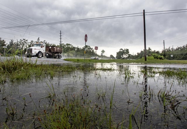
HILO — Hawaii Island residents can expect more thunderstorms and continued rainfall before the weekend as a lingering low-level moisture system continues to interact with an upper-level air disturbance. ADVERTISING HILO — Hawaii Island residents can expect more thunderstorms and
HILO — Hawaii Island residents can expect more thunderstorms and continued rainfall before the weekend as a lingering low-level moisture system continues to interact with an upper-level air disturbance.
There have been three straight days of thunderstorms this week, and a flash flood watch has been in effect since Tuesday.
The flood watch continues through today.
“Most of the heavy stuff right now is southeast of the Big Island, but there’s a chance that some of that could scoot back,” said National Weather Service forecaster Robert Ballard. “So we may see one more round or two of thunderstorms as the system moves by.”
The tropical system contains more moisture than usual, which typically creates trade wind showers. Combined with the unstable air disturbance “up at airliner level,” Ballard said, that’s a formula for thunder.
It’s also often a formula for snow on the summits of Mauna Kea and Mauna Loa, although in this case the air is too warm for that to happen.
“The freezing level (becomes) really high in late summer like this,” Ballard said. “It’s hard to get snow down to summit level.”
Similar weather systems typically pass over the island later in the fall and into early winter.
Portions of the island have seen considerable rainfall since the tropical air showed up this week.
Ed Teixeira, Hawaii County Civil Defense interim administrator, said there were reports of flooding from muddy runoff on Highway 19 near Ookala and Honokaa on Wednesday evening.
South Kopua Road in Mountain View was temporarily closed due to flooding with water between 2 and 3 feet deep covering the road. About 200 Hawaii Electric Light Co. customers were without power Wednesday evening, he said.
“We’re keeping our fingers crossed,” Teixeira said.
Glenwood had received 4.3 inches in 24-hour period as of Thursday afternoon. Laupahoehoe, Saddle Quarry, Papaikou and Piihonua all received just over 3 inches in the same time period.
“We do think things will improve over the weekend, and we’ll start to get back to a normal trade wind pattern,” Ballard said.


