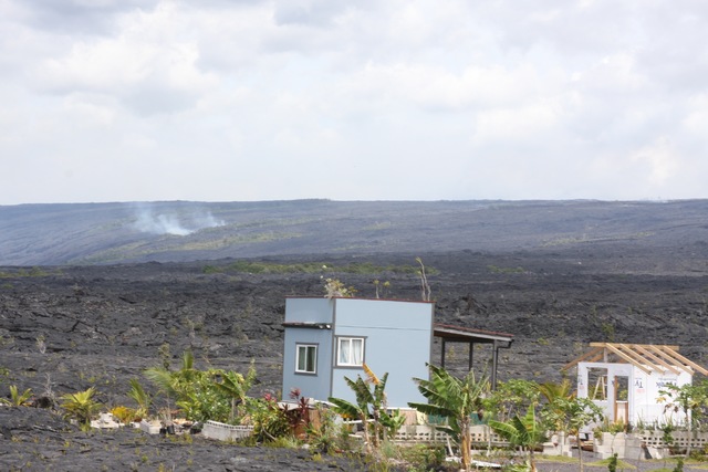
KALAPANA — Smoke from burning trees and open channels of lava could easily be seen Tuesday from Kalapana as the lava flow from Kilauea’s Pu‘u ‘O‘o vent traveled down Pulama pali. ADVERTISING KALAPANA — Smoke from burning trees and open
KALAPANA — Smoke from burning trees and open channels of lava could easily be seen Tuesday from Kalapana as the lava flow from Kilauea’s Pu‘u ‘O‘o vent traveled down Pulama pali.
Using a satellite image taken Monday, Hawaiian Volcano Observatory said the flow was more than 3.9 miles long and was advancing down the western boundary of the abandoned Royal Gardens subdivision at about 0.2 miles per day.
Tour operators were already gearing up as the flow became closer and easier to access.
Ikaika Marzo, of Kalapana Cultural Tours, said he would be guiding his first group out to the new flow starting this morning.
“We used to do tours whenever the lava used to come down here,” he said, while sitting at Uncle Robert’s Awa Bar and Farmers Market, about 5 miles from the flow.
“It’s a cultural tour,” Marzo said. “… A lot of the guides, the people who work for us, are actually rooted down in Kalapana.”
Ed Teixeira, interim county Civil Defense administrator, said he is discouraging anyone from trying to get close to the flow.
That includes tour groups, though there are no restricted areas at the moment.
“We’re discouraging anyone from leaving the emergency access road,” he said. “The terrain is so hazardous.”
The exception might be for people who own property in Royal Gardens, Teixeira said.
On Tuesday, two tourists from Canada were taking advantage of the opportunity to see the flow from a distance.
“It’s really fascinating,” said Hugh Williamson.
His wife, Suzanne, noted they visited Kilauea’s summit the night before and were fortunate enough to see some spatter.
“It put on a really good show,” she said.
Lava is certainly nothing new to the small coastal community.
Much of Kalapana was destroyed more than two decades ago when earlier flows from the vent inundated the town.
For most of the ongoing 33-year eruption, lava’s been a near constant feature in the coastal area, creating rolling black fields of fresh rock. For about the past three years, flows were diverted northeast of the vent away from the coast, nearly isolating Pahoa before stalling.
Marzo said the new flow will be a welcomed economic boost. He doesn’t expect it to get close to homes, some of which have been built on the Kalapana flow field.
Robert Keliihoomalu Jr. said he held the same point of view.
“Just in the past few days we’ve seen a lot of tourists come down here,” he said.
County officials are preparing a lava viewing area in Kalapana. As of Tuesday, angled parking stalls had been spray painted on the side of Highway 130 near Kalapana Gardens subdivision to accommodate the increased traffic.
Signs will also be added asking visitors to stay off private property and a security guard could be posted at the viewing area soon, Teixeira said.
Hikers will be allowed to use the existing emergency route, established in 2014 over portions of Chain of Craters Road and the highway that were covered by earlier flows. The route, which parallels the coastline, was to be used in case the “June 27” flow severed the highway near Pahoa.
Now it’s at risk of being covered.
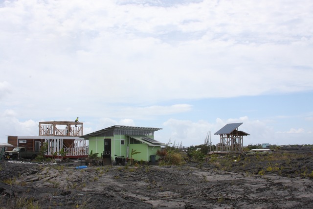
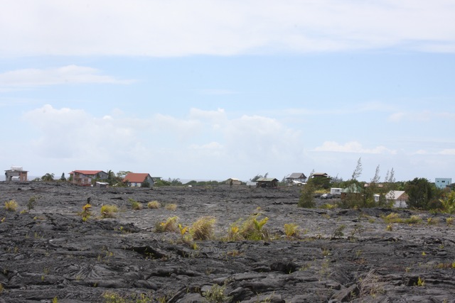
As a result of the new flow, the county Public Works Department also is giving a closer look at home construction in Kalapana Gardens, covered by layers of new lava rock from earlier flows.
“We have been in the field to determine the location of structures, whether the structures are permitted, and gathering property information for public safety planning,” Public Works spokesman Barett Otani said in an email.
The results of the inspections are still being tallied, he said.
The subdivision is about 3-4 miles from the flow.
Teixeira said the county wants to determine who has a property interest there for ensuring residential access.
Email Tom Callis at tcallis@hawaiitr ibune-herald.com.


