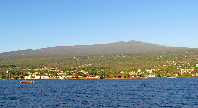
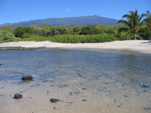
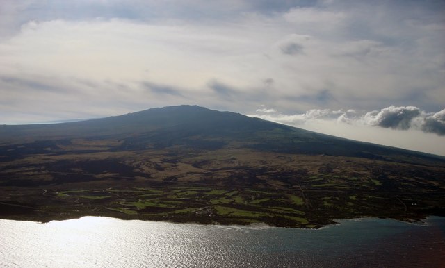
Editor’s note: Over the next few weeks, West Hawaii Today will be taking a closer look at each of the volcanoes on and around Hawaii Island. This week is Hualalai volcano.
Though it gets less attention than Mauna Loa and Kilauea, Hualalai, nestled in a nook of Mauna Loa’s flanks surrounding Kailua-Kona, is still an active volcano. Sure, it has been largely quiet since a flurry of small earthquakes shook beneath Hualalai in 1929, and even longer since its magma has seen the light of day — its last eruptions ended sometime in 1800 and 1801.
“Just don’t say it’s overdue,” said Jim Kauahikaua, a geophysicist with the Hawaiian Volcano Observatory who closely studied Hualalai for the last 20 years. “The timing of volcanic eruptions is not regular enough to be overdue like a train or a bus running on a schedule,” he said. “Hualalai has erupted every few hundred years over the past few thousand years and it will erupt again. But it will never be overdue.”
There are six volcanoes in the state that are deemed active— Kilauea, Mauna Loa, Hualalai and Mauna Kea on Hawaii Island, Haleakala on Maui and the Loihi Seamount — and HVO monitors them all because they have shown signs of activity in the last 10,000 years, Kauahikaua explains.
“It’s [active status is] more of a statistical viewpoint. Hualalai has erupted three or four times in the last 1,000 years, and it’s a little more than 200 years since the last eruption … there is a potential for eruption,” he said.
Interestingly, evidence of the last eruption is the first thing any visitor arriving through Kona International Airport sees. The middle and north sections of the airport’s runway sit atop the Huehue lava flow, which swept through the area between the late 1700s and 1801, filling King Kamehameha’s Paaiea fishpond with black lava. “One of the [old Hawaiian] stories is how he tried to appease Pele,” said Kauahikaua. “He must have been successful because the eruption stopped.”
With an eruptive history predating extensive documentation, Kauahikaua and his colleagues studied the Hawaiian oral tradition and visited flow sites over the course of several years to try to piece together what might have happened — when exactly the flows occurred, the rate of flow and for how long. “We never really figured out exactly how long the eruptions lasted,” said Kauahikaua, but they were able to confirm some details of the stories with physical evidence on Hualalai and made a few new discoveries.
They found the Huehue lava flow, which likely ended sometime in 1801, was actually two different flows; for years it had been assumed the flow was all from a single eruption. The group later found a 19th century ahupuaa (Hawaiian land division) map that corroborated their findings and depicted the site as two flows.
And, they took a closer look at the Kaupulehu flow, which seemed to have destroyed a Hawaiian settlement before reaching the sea in the south part of Kiholo Bay in 1800. That flow had green olivine rock chunks in it that turned out to be remnants from Hualalai’s earlier shield stage. The lava had ripped through a seam of the green rock, crystalized from a shallower magma chamber and incorporated chunks of it into the lava. This showed the scientists that magma chambers much deeper within the volcano fed Hualalai’s more recent eruptions than those that had fueled its earliest eruptions.
Today, seismometers and GPS stations continually monitor for activity at Hualalai’s summit, flanks and on the nearby lower flanks of Mauna Loa, and HVO scientists have conducted a full GPS survey of Hualalai — searching for any shifts in the volcano’s surface — every two years since 1971. “Still, there are no signs of activity,” Kauahikaua said.
Yet, there is evidence of heat held within Hualalai. “With a geologically young volcano like Hualalai, one would expect there to be some residual heat contained in its deep interior,” said University of Hawaii at Hilo geochemist Don Thomas who has been involved in geothermal exploration and assessment in Hawaii for around 40 years.
Thomas has been organizing efforts to search for geothermal activity along the volcano’s rift zone north of Kona by mapping the electrical conductivity of rocks beneath the surface.
“Back in the 1970s, there were some fairly primitive geophysical surveys done over the mountain that did find unusual results that were also consistent with thermal activity inside the mountain,” Thomas said. “We have … sampled some of the water wells that are drilled into Hualalai that have shown unusual chemistry that is consistent with a magmatic heat source. … The only way we can determine whether it would be worthwhile to do more detailed studies of the volcano, would be to perform some very broad surveys over the area with modern geophysical methods.”
Thomas’ non-invasive geophysical survey project has funding from the Hawaii Department of Land and Natural Resources and U.S. Department of Energy, but has been delayed while groups contest the need for an environmental survey.


