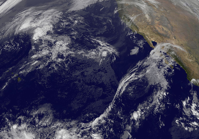
Tropical Storm Sandra is forecast to steadily strengthen through Wednesday as it churns off the coast of Mexico, National Hurricane Center forecasters reported Tuesday morning. ADVERTISING Tropical Storm Sandra is forecast to steadily strengthen through Wednesday as it churns off
Tropical Storm Sandra is forecast to steadily strengthen through Wednesday as it churns off the coast of Mexico, National Hurricane Center forecasters reported Tuesday morning.
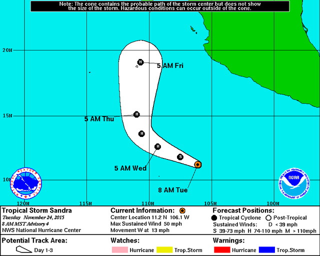
Located 550 miles south-southwest of Manzanillo, Mexico, the storm featured maximum sustained winds of 50 mph and was traveling west at 13 mph as of Tuesday morning, forecasters said. Tropical storm-force winds extended outward up to 80 miles from Sandra’s center.
Forecasters expect the storm to continue strengthening through Wednesday as it encounters 84- to 86-degree waters and little wind shear. Sandra is expected to peak as a Category 2 hurricane packing 100 mph winds on Wednesday, however, forecasters cautioned that some weather models have the storm becoming stronger.
Thereafter, southwesterly shear is expected to increase substantially, which should cause Sandra to weaken as it approaches the coast of Mexico this weekend, forecasters said.
In the Central Pacific, which is where Hawaii is located, tropical cyclone formation is not expected through Thursday morning, according to the Central Pacific Hurricane Center in Honolulu.
The Central Pacific and Eastern Pacific hurricane seasons continue through Nov. 30.
Get more hurricane-related content, including preparation tips, evacuation info and daily tropical weather updates, on our hurricane season page, sponsored by Clark Realty, at www.westhawaiitoday.com/hurricane-season-2015.


