What could end up being the strongest El Nino to impact the Pacific Ocean in more than 50 years is expected to bring dry weather to the Big Island over the next six months. ADVERTISING What could end up being
What could end up being the strongest El Nino to impact the Pacific Ocean in more than 50 years is expected to bring dry weather to the Big Island over the next six months.
In its annual wet season rainfall outlook for the state, the National Oceanic and Atmospheric Administration reported Wednesday morning that Hawaii’s typically wet season, which runs from October to April, will see significantly below-average rainfall totals, especially from December through April.
The impact will be felt statewide, according to the NOAA media advisory, with many areas seeing less than 50 percent of average rainfall.
Kevin Kodama, a hydrologist with NOAA’s National Weather Service in Honolulu, said Wednesday that most of the island could fall into a moderate drought, with isolated areas that are particularly prone to drought experiencing extreme drought conditions.
“We’ve seen wet conditions on the Big Island the last couple months or so,” he said. “Things are going to change considerably once December rolls around. We’re going to see very dry conditions.”
The Pacific’s current El Nino conditions have already shaped up to be at least as strong as those experienced in 1997 and 1998, which led to very low rainfall in areas across Hawaii Island.
“This one (El Nino) hasn’t finished developing yet, and could get stronger than the ’97 or ’98 El Nino,” he said.
El Nino is caused by a band of warm ocean water that develops in the central and east-central Pacific Ocean, and can cause significant global changes in both temperatures and rainfall.
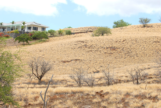
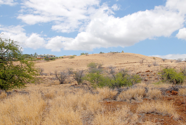
Drought prone areas like South Kohala and South Point are likely to be hardest hit, Kodama said.
“Those places always seem to get into drought earliest and last the longest,” he said.
He added that 1998 was the beginning of a “pretty bad” drought punctuated by a string of unusually dry wet seasons that particularly affected agricultural operations on the island.
“The ranching community took a big hit out of that one,” he said. “Depending on what you’re doing, (the impacts) can last a long time. For cattle and livestock folks, if they’ve had to cut back on herds, just because you get rains and grasses back, you can’t turn that around immediately. Even now, I don’t think they’ve recovered from (the 1998) drought.”
Perhaps the most noticeable changes in rainfall will be felt on the windward side of the island, which typically sees heavy rainfall during the winter months.
“It’ll be statewide, in terms of dryness. But if it’s like the ’97-’98 El Nino, then, yeah, the biggest deficits are going to be on the east half of the Big Island. … Especially in the Puna areas, where they’re more accustomed to regular or sufficient rainfall,” Kodama said.
Many people relying on catchment water could find themselves having to hire water hauling services to replace their tanks if the rainfall is as low as it is predicted to be, he said.
During the drought of 1998, Hilo saw its driest January on record, with only .13 inches of rainfall.
“The average rainfall during the month is 9.74 inches,” he said. “In Hilo, you can get .13 inches in just 15 minutes of rainfall.”
Email Colin M. Stewart at cstewart@hawaiitribune-herald.com.


