Variety of factors fueled flooding in Kona, inclement weather forecast to continue
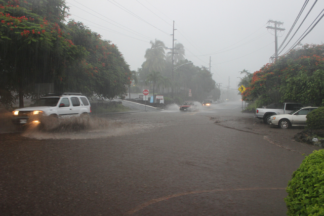
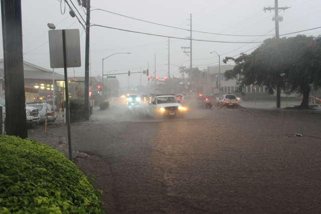
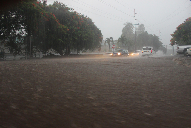
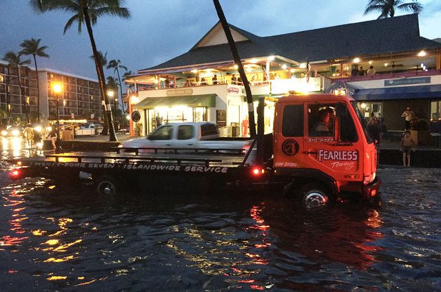
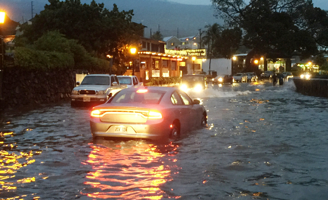
A variety of factors came together Tuesday to fuel heavy rains and thunderstorms that flooded and damaged roadways and properties in the Kona area.
The typical summer weather pattern of onshore sea breezes ascending the mountain slopes and interacting with descending trade winds to produce local showers in the late afternoon were exacerbated by a lingering moist air mass over the state, unusually warm ocean temperatures of 80 to 84 degrees, and a weak disturbance in the upper atmosphere, said National Weather Service Senior Meteorologist Tom Birchaud.
“A lot of the usual factors were at play, but the upper-level disturbance is what helped make it especially long-lived,” said Birchaud. It was that disturbance that also resulted in the lightning and thunder that accompanied Tuesday’s weather.
“It was fierce,” he added. “And it locked in and it didn’t move. For about two hours there was intense rainfall. … I don’t remember too many events where it was that intense for that long, and when I saw it do it over Kona town I was pretty concerned.”
Birchaud said the first flash flood warning was issued Tuesday afternoon primarily for the Honaunau area after a batch of heavy showers flared up in South Kona. After impacts were tapering off, Birchaud said he was close to canceling the warning when it opened up over other Kona areas.
“It just erupted a little farther north, right over the Kailua-Kona area,” he said.
At 5:59 p.m., Birchaud issued a flash flood warning, ratcheting up his message to include the fact that “torrential pounding” rain was impacting Kailua-Kona that would “lead to flash flooding and property damage.”
“I don’t remember too many events where it was that intense for that long, and when I see it do it over Kona town I was pretty concerned,” said Birchaud, who has been a meteorologist in Hawaii for about 20 years.
At its peak, the area of heavy showers and thunderstorms stretched from just north of Captain Cook to about Keahole Point. The storm was positioned primarily over coastal areas, but did extend about 8 to 10 miles upslope. Rainfall rates were estimated to be between 4 and 6 inches per hour. Some areas saw rates of up to 8 inches per hour.
At the home of Fern Gavelek, who lives off Keopu Place mauka of Komo Store off Highway 180, some 4.9 inches of rain fell during the two-hour squall.
“I could hear the roar from my house of the Keopu drainage way,” she said. “And, it’s two blocks over. It was just roaring.”
Tuesday’s rainfall came on top of dozens of inches of rain her gauge has recorded since Aug. 18. Between Aug. 18 and 31, 21.2 inches of rain fell at her home and between Sept. 1 and Tuesday, she recorded 21.8 inches for a total of 46 inches in just 31 days. According to the University of Hawaii Rainfall Atlas of Hawaii, Gavelek’s location receives about 58 inches of rainfall annually; August normally sees 5.5 inches and September 6.59 inches.
“Every day we get more and more rain and we’ve just kept adding it up,” she said.
The National Weather Service rain gauges in Waiaha and Kealakekua that would have recorded Tuesday’s rainfall were down and thus could not provide data on actual rainfall totals, said National Weather Service Hydrologist Kevin Kodama. Both are being re-established, however, the Waiaha gauge is unlikely to be fixed this year, he said.
Curtis Tyler, a lifelong Kona resident, said he received about 0.14-inch of rain on Tuesday at his Kona Acres home, which is located on the south side of Kaiminani Drive, essentially outside of the area of heavy showers and thunderstorms described by Birchaud. So far in September, he’s recorded about 10 inches of rain.
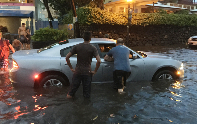
On Tuesday evening, Tyler said he ventured out with his son to check the conditions. He arrived on Alii Drive in the Kailua Village area around 7:30 p.m. to find evidence of heavy flooding, but noted that the water seemed to have come from all the “usual places” including flowing downhill between Mokuaikaua Church and the ABC Store at Emma’s Square, which likely caused nearly 2 feet of water to fill Alii Drive fronting the Fish Hopper restaurant.
Heading south on Alii Drive, Tyler said other areas that usually experience flooding amid heavy rains were impacted including near St. Michael the Archangel Church, Coconut Grove Marketplace, Royal Sea Cliff Resort, which is located between Alii Park Place and Alii Lani, and in the vicinity of Royal Poinciana Drive. At Lyman’s Surf Spot, an area that usually floods, he did not see too much evidence of water having rushed through.
Up mauka, as he was heading home, he reported seeing debris on Hualalai Road, near the horseshoe turn, Waiono Ranch Road partially washed away, and rocks more than a foot in diameter on Highway 180 in the vicinity of Kona Memorial Park. A normally dry stream bed just north of the intersection of Hualalai Road and Lako Street was flowing fast.
But, Tuesday was not the first time Tyler, who’s lived here all 69 years of his life, has seen such flooding. Born in 1946 and raised on the corner of Hualalai Road and Alii Drive, Tyler recalls seeing about three to four “500-year” floods by the time he was 15.
“I’ve seen at least 4 feet of water where Bubba Gump is and that little cove next to it quite a few times,” he said.
But, it’s been a long time since he’s seen rainfall and flooding like occurred Tuesday.
“While it is termed ‘unique,’ ‘incredible’ or ‘unbelievable,’ or people say they have never seen anything like this in their life, all those folks are too young,” Tyler said. “People say, ‘oh well these floods were 50 years ago,’ well 50 years ago I had already seen three or four 500-year floods. It’s just a matter of time, and the more urbanization that we have and the more impervious surface is created, the more runoff that is going to occur because it can’t go into the ground, and if the ground is already super saturated it will just run through.”
Kodama, the National Weather Service hydrologist, was unable to determine Wednesday if the flood was a rare event, such as a 500-year flood, because the Waiaha and Kealakekua gauges were inoperable. A 100-year flood has a 1 percent or greater chance of being equaled or exceeded during any given year. A 500-year flood has a 0.2 percent chance, according to the Federal Emergency Management Agency.
“You have to have rain gauge data to compare it against, we can’t use the radar data,” he said.
The inclement weather is forecast to continue in the coming days thanks to the moist atmosphere and warm ocean waters surrounding the island, Birchaud said. An additional weak disturbance in the upper atmosphere, which exacerbated the rainfall Tuesday, is also expected to move closer to the islands.
A flash flood warning was issued Wednesday afternoon for areas of Kona and Ka‘u, leading to several road closures and property being inundated. By mid-afternoon, the rain had moved north toward Waikoloa and south toward Pahala and Wood Valley. The warning expired Wednesday evening.
El Nino could also be fueling the stormy weather, he said.
“There’s something happening, it’s not unrelated, let’s put it that way,” explained Birchaud. “The warmer than normal water temperatures near the island are related to El Nino and those water temperatures have been fueling heavier than normal showers. Normally, the flareup showers, the majority of the time, don’t result in flash flooding, but just ‘pop up and go down’ but this summer, we’ve seen these ‘pop up’ showers dropping more water than normal.”


