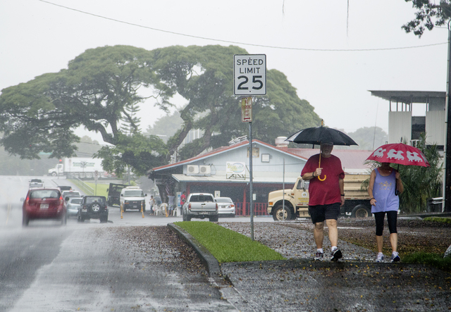
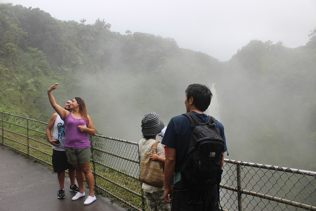
Heavy rain began falling in East Hawaii Thursday afternoon as Hilda became a remnant low tracking ever further southwest of the Big Island. ADVERTISING Heavy rain began falling in East Hawaii Thursday afternoon as Hilda became a remnant low tracking
Heavy rain began falling in East Hawaii Thursday afternoon as Hilda became a remnant low tracking ever further southwest of the Big Island.
A flash flood watch issued by the Central Pacific Hurricane Center remained in effect through 6 a.m. Saturday for the entire island, and a flood advisory was posted for areas east of Naalehu and Pohakuloa Training Area.
Moisture plumes on the northern and eastern ends of the system were dumping rain at a rate of 1 to 2 inches an hour at PTA and an inch an hour from North Hilo through Puna on Thursday afternoon. The National Weather Service was urging residents to prepare for gusty conditions, torrential thunderstorms and ponding on roads.
In West Hawaii, rainfall was limited mainly to areas above 4,000 feet. Most of the leeward side could look forward to enhanced showers through Friday, NOAA warning coordination meteorologist Chris Brenchley said.
The moisture is from the larger unsettled area created by Hilda but is no longer attached to the dissipated cyclone, Brenchley said.
“What we’re left with is the tropical moisture drifting over the Big Island with the trade winds,” Brenchley said. “Conditions should continue at least through Friday night, and there will probably be some drying out over the weekend.”
Some of the heaviest rain Thursday afternoon was falling in North Hilo, where streams were rising and rain was heavy enough to create ponding on roads, Brenchley said.
The remnant low, packing 30 mph winds, was located 275 miles south of South Point on Thursday evening, picking up speed to 14 mph as it traveled west-southwest. The shift to the southwest came after Hilda spent a day muddling around with little definable course on Wednesday.
About 40 mph vertical wind shear took its toll on the system over the past couple of days, although Hilda held up better than predicted.
Forecasters with the National Hurricane Center in Florida were also watching a broad area of low pressure located just a few hundred miles south of Manzanillo, Mexico. Conditions are favorable for the system to develop into a cyclone as it moves west-northwest at 10 to 15 mph over the next few days. The system is forming far east of the the area where the last two hurricanes, Hilda and Guillermo, developed.
Puukohola Heiau National Historic Site reopened to the public Thursday morning, but the 43rd annual Hookuikahi Establishment Day Hawaiian Cultural Festival was canceled in anticipation of stormy conditions and will not be held again until next year. The festivities had been scheduled for this weekend.


